We are working on a project about the exploration of historical ruins via publicly available satellite imagery. This project is for a high school scientific research competition.
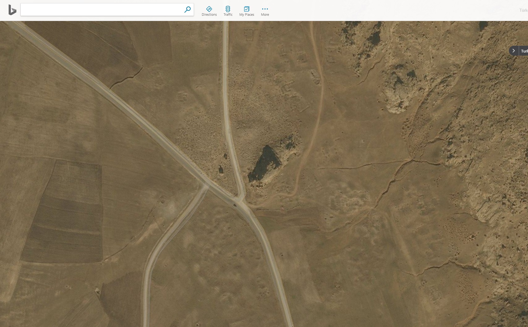
In the photos below you can see that Bing Maps imagery is different from Here WeGo and Google Earth. Burried ruins of a settlement can be clearly seen in Bing Maps image.
In all of these map services the source of the satellite imagery is shown as DigitalGlobe. We want to know what the difference is between the images apart from "season", if there is any.
coordinates for the example site seen in the photos: 39,050433, 44,015129


