If you want to open the attribute table of raster data, you need to convert the Pixel Type from floating point to signed integer. This can be done if you have Spatial Analyst extension.
With Spatial Analyst you can use Raster Calculator to convert the Pixel type from floating point to signed integer using the following formula:
Int(RoundDown("YourRasterImage")) # You can use RoundUp() also, it is up to you
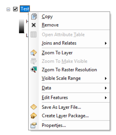
The raster data with a pixel type of floating point, the attribute table is not active:

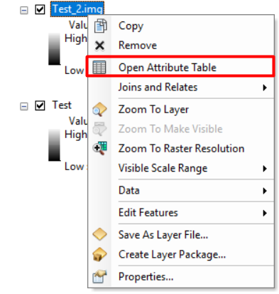
After converting the pixel type to signed integer using the above formula, the attribute table becomes active:

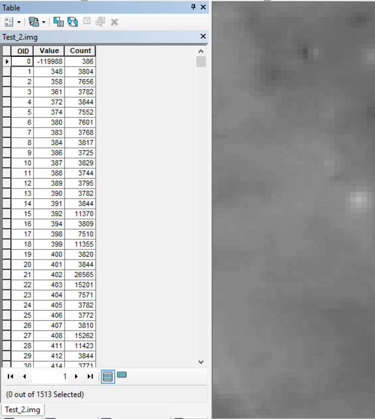
Here is the attribute table:


