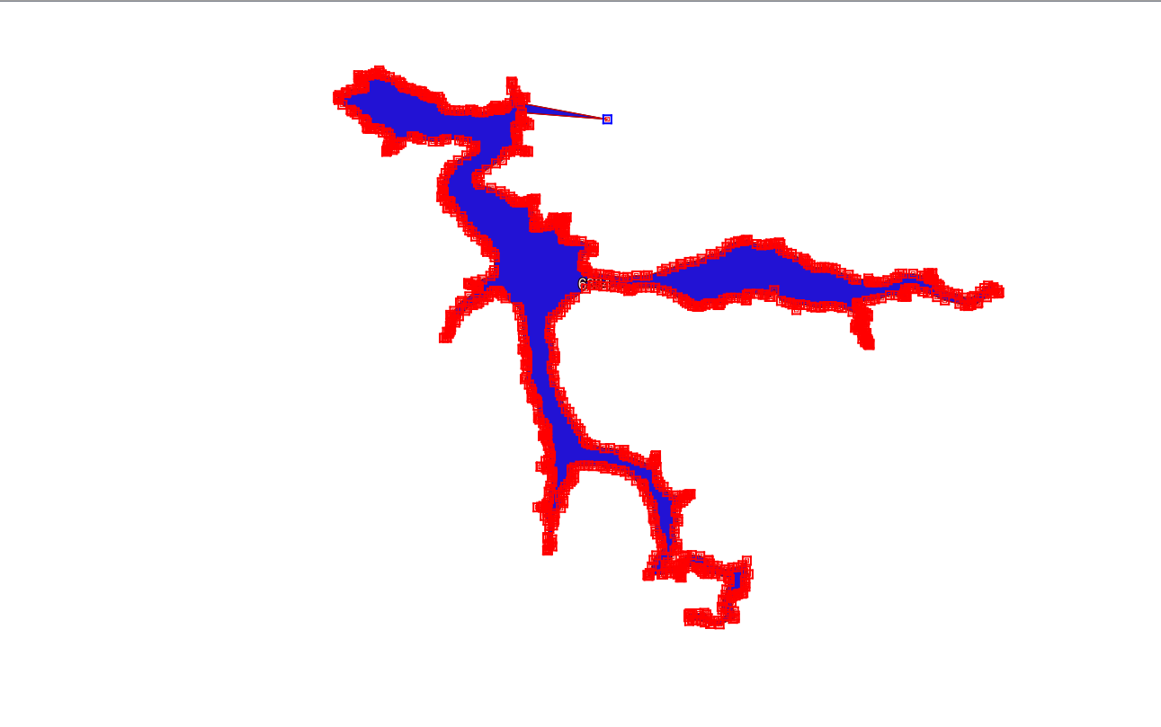
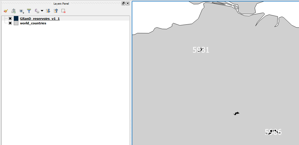
I found that several lakes in the GRanD database (global reservoirs and dams) are unable to be selected for editing like normal polygons, and they have no feature at all, although they are shown in the attribute table with three features: GRanD ID, area and Poly_SRC.
May I ask:
- Why are these polygons corrupted?
- How to fix them to be normal polygons that can be edited?
Image 1: one lake polygon with no feature shown:
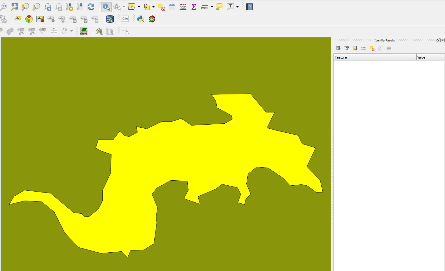
Image 2: the lakes shown in the attribute table with three features:
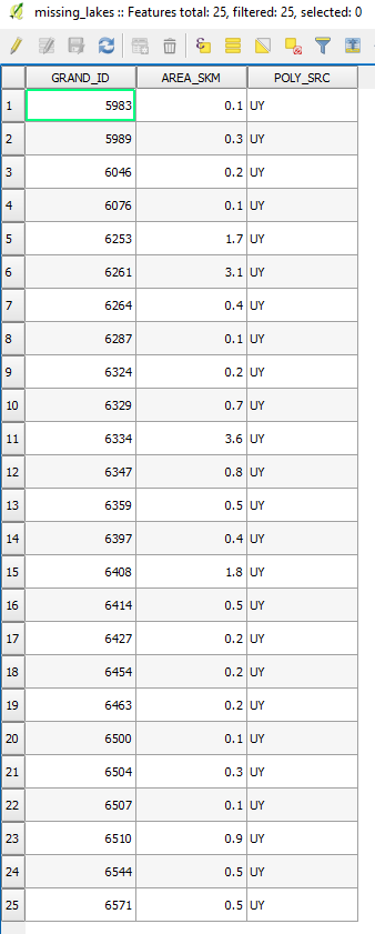
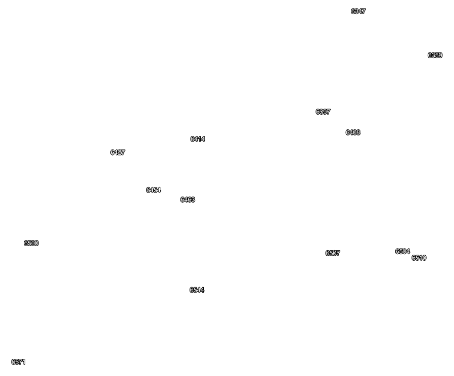
Image 3: The GRanD ID of each lake cannot be shown as label for each of these 25 mysterious polygons:
The shapefile is shared in this link.

