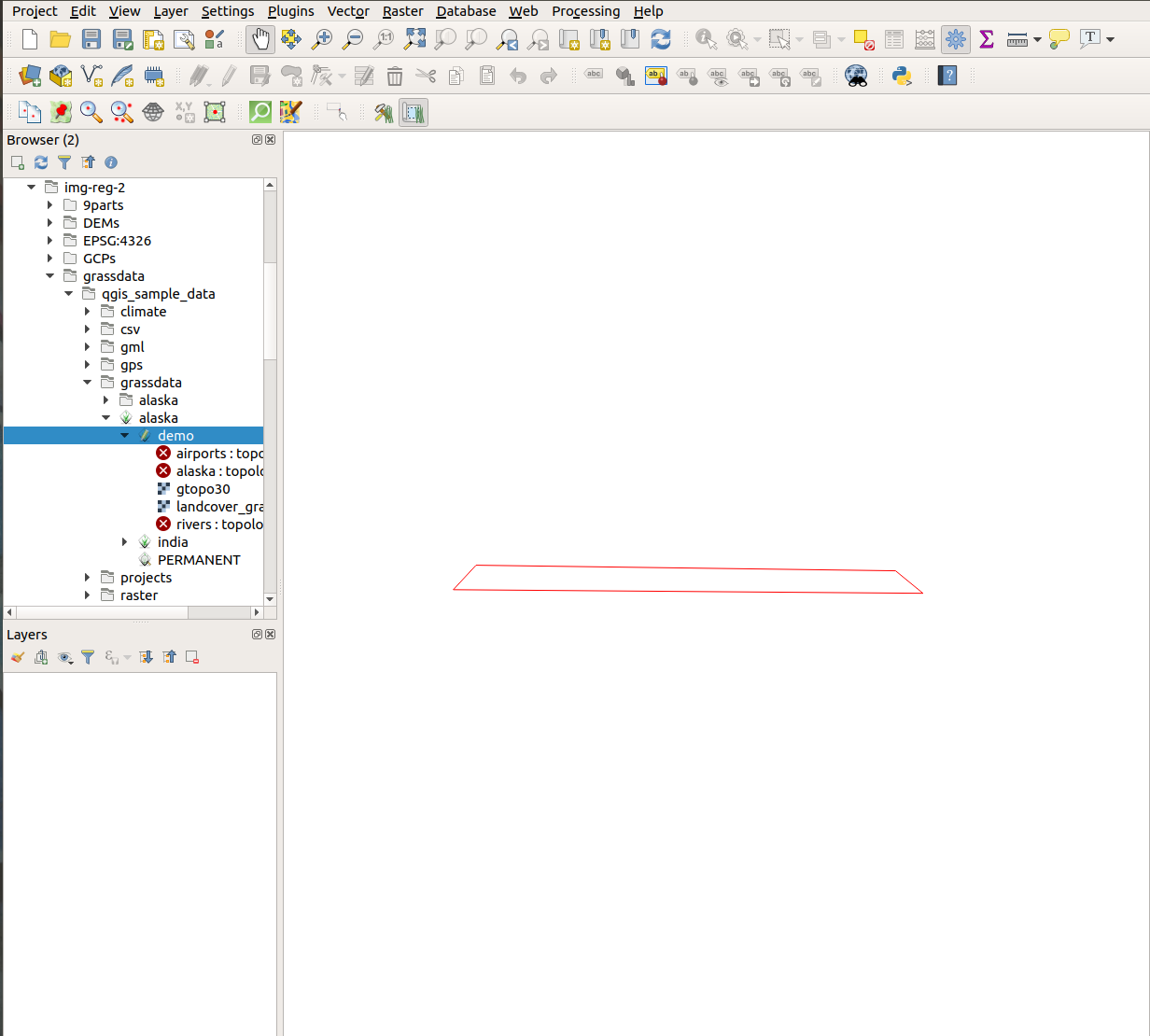
I have GRASS 7 plugin installed with QGIS 3.4.2.
I downloaded the Alaska QGIS sample dataset and followed these steps to load the dataset into QGIS.
When I expand the alaska location and load the demo mapset into QGIS, I see nothing except a red polygon on the QGIS canvas. Is this how its supposed to be? What do I understand about GRASS mapsets from this?

