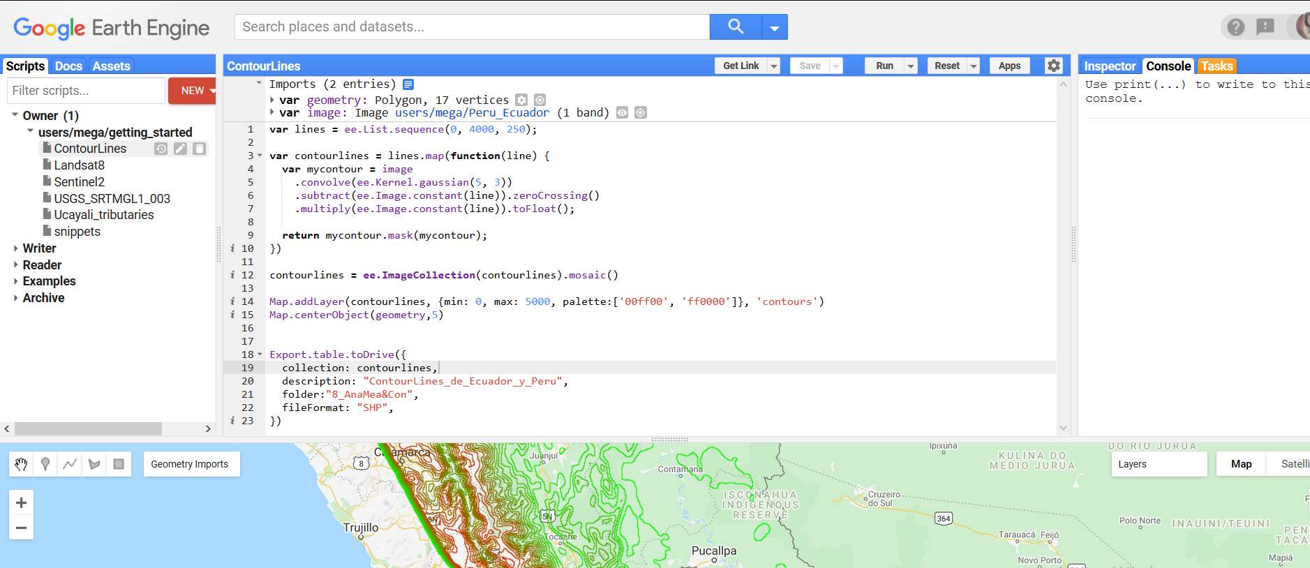
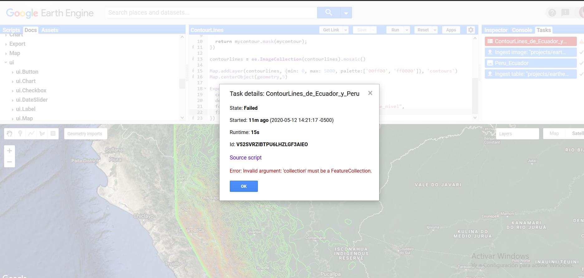
I would like to export these contour lines as .SHP but GEE says that variable collection must be a FeatureCollection.
2 Answers
contourlines is an image, so it cannot be exported as a shapefile. You can use ee.Image.reduceToVectors() to convert it into a feature collection, and then export that collection as a shapefile. This might not work for your large region. If you're having problems, try to tile your region and export each tile separately:
var vectors = contourlines.reduceToVectors({
  geometry: geometry,
  scale: 30,
  maxPixels: 1e13
})
This exports just a small part of your region: https://code.earthengine.google.com/6343517fff22a2252fed8d2e349cde69
-
-
Thank you a lot. Yeah, that helps me a lot. I hadn't had a clue for doing this.– SherwoodCommented May 14, 2020 at 6:37
You have a raster file, the contour lines, so you are possibly looking to export an image:
Export.image.toDrive({
  image: contourlines,
  description: "ContourLines_de_Ecuador_y_Peru",
  folder:"8_AnaMea&Con",
  region: geometry,
  scale: 30
})
Then you can try to use external software to transform that image into a SHP file.
You can also transform that image into a multipoint SHP file. You will need some external software to transform that multipoint SHP file into valuable line strings. At least, this might give you an idea what difficulties there are transforming an image into a vector file:
var lines = ee.List.sequence(0, 4000, 250);
var proj = image.projection();

var contourlines = ee.FeatureCollection(lines.map(function(line) {
  // get an image
  var mycontour = image
    .convolve(ee.Kernel.gaussian(5, 3))
    .subtract(ee.Image.constant(line)).zeroCrossing()
    .multiply(ee.Image.constant(line)).toFloat();
    mycontour = mycontour.mask(mycontour);

    // get the coordinates of the line in a requested projection
    var pixelLonLat = ee.Image.pixelLonLat().updateMask(mycontour);
    var latLonReproj = pixelLonLat.reproject(proj.crs(), null, proj.nominalScale());

    // extract lat/lon coordinates as a list
    var coordsList = ee.List(pixelLonLat.reduceRegion({
      reducer: ee.Reducer.toList(2),
      geometry: geometry,
      scale: proj.nominalScale()
    }).values().get(0));

  // only return a MutliPoint geometry when there are points
  return ee.Feature(ee.Algorithms.If(coordsList.length(),
          ee.Feature(ee.Algorithms.GeometryConstructors.MultiPoint(coordsList),{elevation: line})));
}))

print(contourlines)
Map.addLayer(ee.Image().paint(contourlines, 'elevation', 1), {min:0, max: 4000, palette: ['red','green']})


