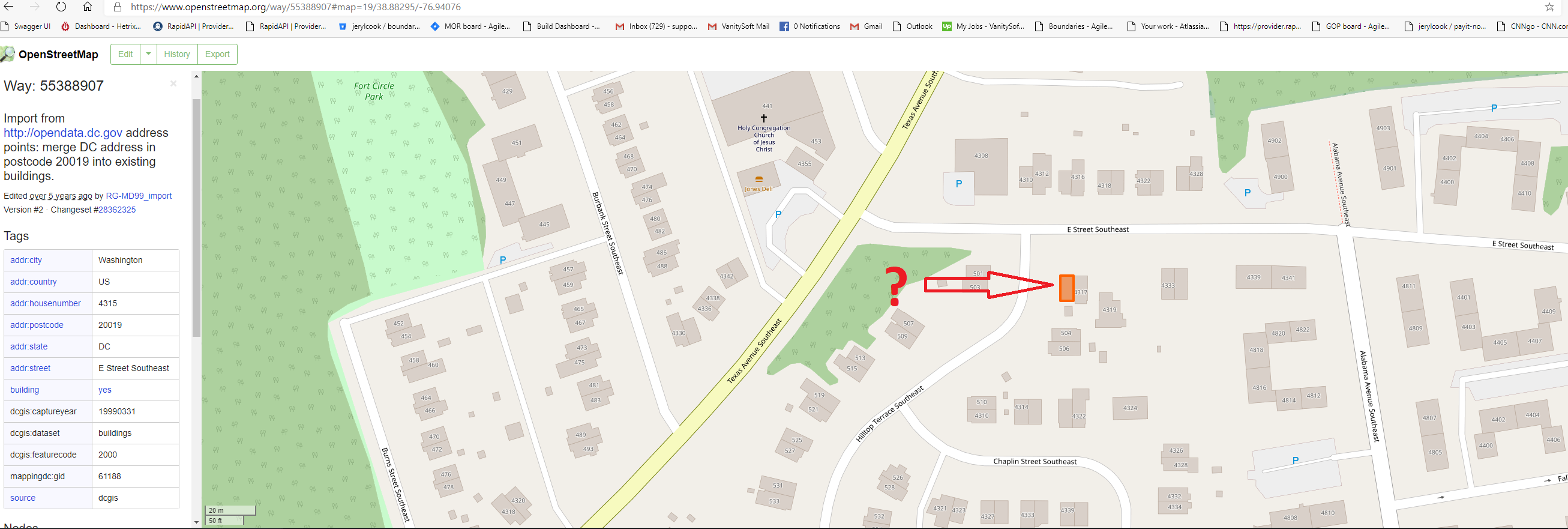
 The boundary around the address shown in red in the OSM GUI, It does not return when querying, and in the download XML the "GeoJson" of this polygon does not show... is it possible to obtain this boundary via the API?
I'm not sure how it's being generated on the backend.
-
2Note that addresses can both be defined as polygons and nodes in OSM! If you want to make sure to get all addresses, you have to download and process both polygons and nodes– 60levelchangeCommented Jun 14, 2020 at 5:27
Add a comment
|
1 Answer
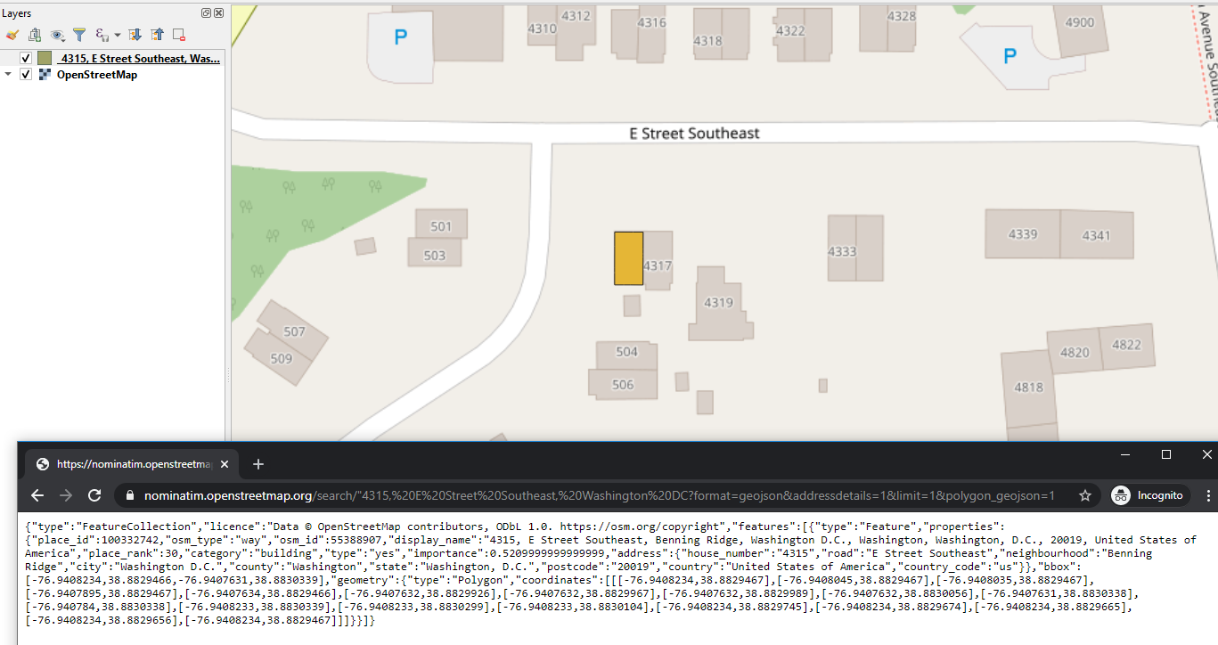
Use the Nominatim API to geocode and return the polygon for the building outline &polygon_geojson=1
https://nominatim.openstreetmap.org/search/%224315,%20E%20Street%20Southeast,%20Washington%20DC?format=geojson&addressdetails=1&limit=1&polygon_geojson=1
This can be added to a GIS (QGIS used here) to read the GeoJSON file.
-
Thanks. is this 'polygon' to physical address available in the OSM data dump download? or Nominatim 3.5.0 server(with OSM Data) Commented Jun 14, 2020 at 4:01
-
1download.geofabrik.de/north-america/us/… has shapefiles with buildings within the zip files– Mapperz ♦Commented Jun 14, 2020 at 4:51
-
1

