2

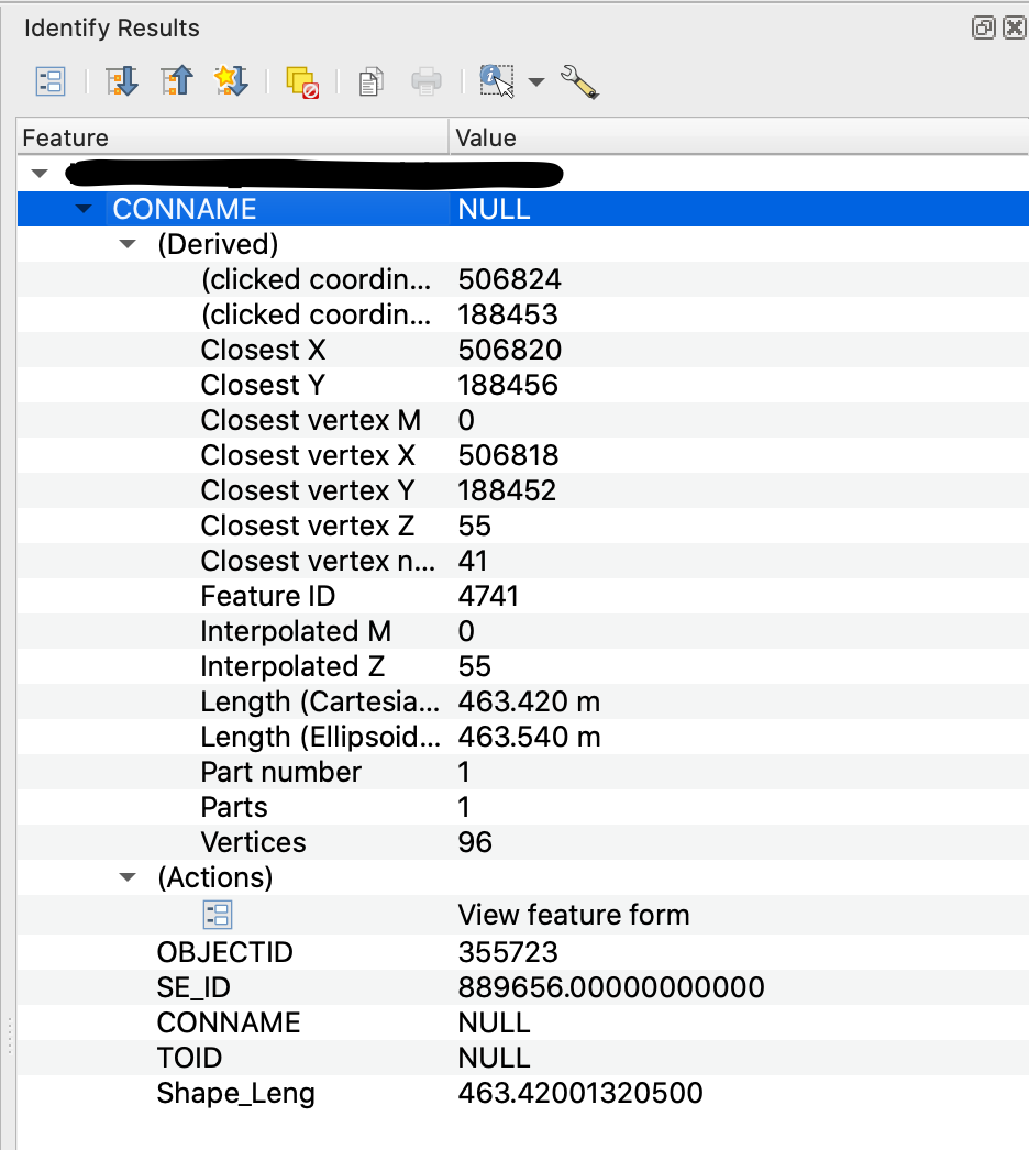
I am trying to extract co-ordinate and height data from a contour layer imported from a .shp file. I have loaded the file into QGIS and am attempting to access with Python the height values of each feature - Closest vertex Z or Interpolated Z in the picture below.

enter image description here

I am eventually aiming for something similar to what is achieved in this answer https://gis.stackexchange.com/a/41922/172876, but I can't find a way to adapt their solution to work for me. I have looked through several forum posts, but many rely on using rasters to extract z values, or are using points not contours.

I have been able to select features in the contour layer, and access their attributes using:

layer = iface.activeLayer()
for feature in layer.selectedFeatures():
    attrs = feature.attributes()
    print(attrs)

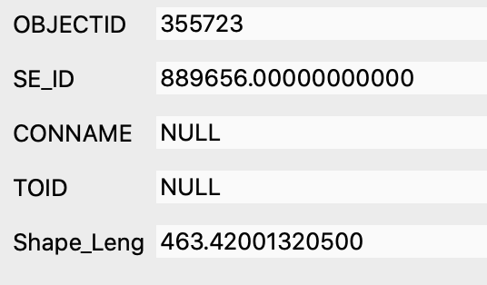
But this only accesses the attributes pictured below, and none of the attributes under the (Derived) dropdown in the picture above, which is where the Z values are.

enter image description here

How do I access and extract these using PyQGIS?

5
  • 1
    I would try Extract vertices tool to create a point layer, then TIN interpolation. Then you have your raster
    – Bera
    Commented Nov 18, 2020 at 12:41
  • @BERA Thanks for the suggestion, I will try that
    – sdunnim
    Commented Nov 18, 2020 at 13:11
  • @BERA I have been able to extract the vertices into a layer; I'm now trying to extract the x,y,z coordinates of each point (this is easier for me than going through the raster method), but can't get it to work. I have followed a couple of the answers from the following link, but nothing is getting printed to my console: gis.stackexchange.com/questions/53594/…
    – sdunnim
    Commented Nov 18, 2020 at 14:40
  • Are you sure your lines have z values? Or is it an attribute/ a column?
    – Bera
    Commented Nov 18, 2020 at 14:43
  • @BERA under the (Derived) dropdown there are two Z values (Closest vertex and Interpolated) for the contours (visible in the first picture), and now they are extracted to vertices each vertex has a Z value under the same dropdown. I assumed this was just a stored z value, but it may be just an attribute called 'Z' I guess... What is the difference? And how would I extract it for each vertex via PyQGIS?
    – sdunnim
    Commented Nov 18, 2020 at 14:51

1 Answer 1

1

I had the same problem. I had a bunch of linear features that stored z values, with each single line having the same z value.

I was able to create a new field using the field calculator, as per the following expression.

z(line_interpolate_point($geometry, 1))

This basically generations a point a specific distance along the line (which is $geometry, the distance, I just picked 1). This will return a geometry.

z($geometry) will return the z value of that geometry - In this instance it will be the point geometry.

Your Answer

By clicking “Post Your Answer”, you agree to our terms of service and acknowledge you have read our privacy policy.

Not the answer you're looking for? Browse other questions tagged or ask your own question.