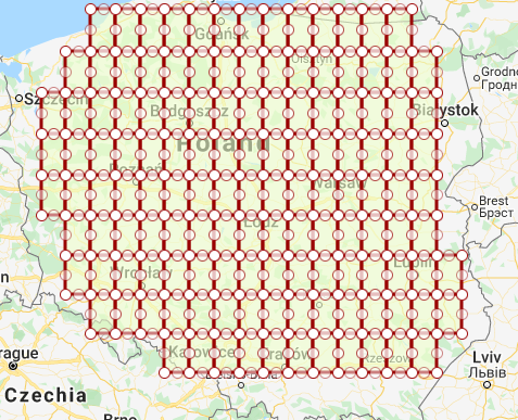
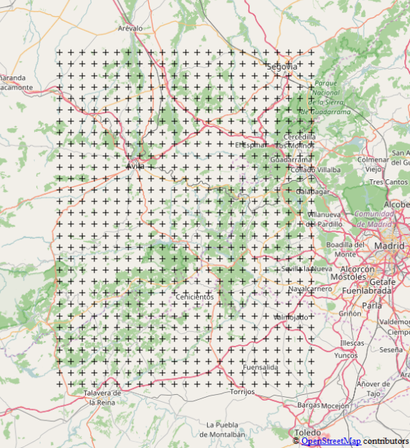
The standard approach to this problem is to first create a grid for the extent and then eliminate the grid geometries which do not intersect with the geometry of the country. You can use any gis software package, as the intersects and contains conditions are common use cases. Shapely library could be useful for this.
Example (note I changed your [lat, lon] format to [lon, lat]:
from shapely.geometry import MultiPolygon, Polygon, box, MultiPoint, Point
from shapely import wkt

def get_geometries(top_left, bottom_right, spacing=0.08):
    polygons = []
    points = []
    xmin = top_left[0]
    xmax = bottom_right[0]
    ymax = top_left[1]
    y = bottom_right[1]
    i = -1
    while True:
        if y > ymax:
            break
        x = xmin

        while True:
            if x > xmax:
                break

            #components for polygon grid
            polygon = box(x, y, x+spacing, y+spacing)
            polygons.append(polygon)

            #components for point grid
            point = Point(x, y)
            points.append(point)
            i = i + 1
            x = x + spacing

        y = y + spacing
    return polygons, points

polygons, points = get_geometries((14, 54), (24, 49), 0.5)

##country_geom is a shapely polygon with country boundaries
country_geom = wkt.loads('POLYGON((17.564247434051406 54.446991320181255,16.311806027801406 54.061910892199705,15.575722043426405 53.37933926382691,15.377968137176405 52.79871812523439,15.575722043426405 51.98076121960815,15.619667355926405 51.15448239676194,16.696327512176406 50.94037053252475,17.871864621551406 50.47422670556861,18.761757199676406 50.27102433369101,21.54709245171919 50.3018762188395,22.28317643609419 50.31590902034586,23.19504167046919 51.019189209157204,22.65671159234419 52.08481472438036,22.79953385796919 52.86108007657073,22.48237015280161 53.76537437170607,22.24067093405161 54.11458487224089,20.402314605750536 54.24318115411181,18.908173980750536 54.09526092933704,18.007295074500536 54.396969300395,17.564247434051406 54.446991320181255))')

intersecting_polygons = []
intersecting_points = []
for polygon in polygons:
    if polygon.intersects(country_geom):
        intersecting_polygons.append(polygon)

for point in points:
    if country_geom.contains(point):
        intersecting_points.append(point)

polygon_grid = MultiPolygon(intersecting_polygons)
point_grid = MultiPoint(intersecting_points)

#grids are shapely geometries. You can output them as WKT format
print(point_grid.wkt)
print(polygon_grid.wkt)
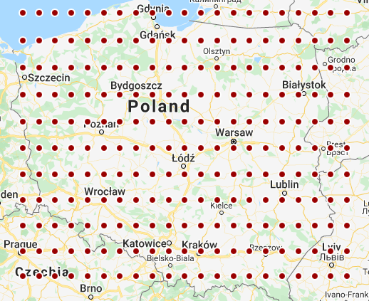
First grid:
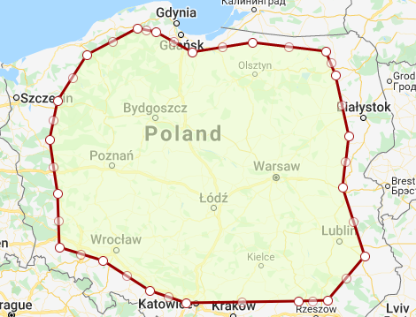
Fake country boundaries (didn't want to bother with finding the actual ones so I drew something on the map):
Result:
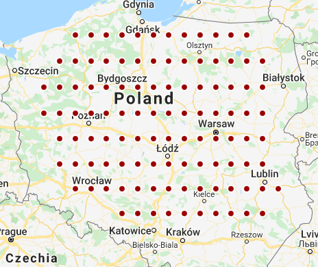
Result (polygon version):
