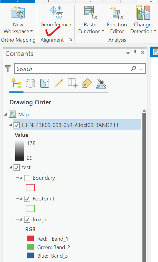
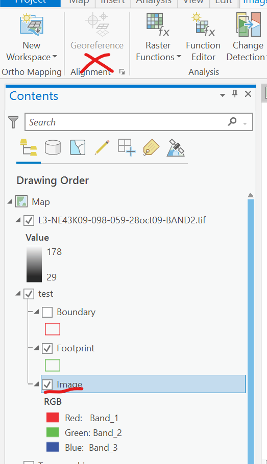
I have a Worldview 2 product from Digital Globe. To add it to ArcGIS I am first creating a Mosaic Dataset and selecting the Worldview 2 product definition and setting the coordinate system to be the same as the Map layer. And then using Add Raster to Mosaic Dataset by specifying the folder where the product is located and using the Pansharpened Acomp processing template (I have both the MS and Pan products of Worldview 2 and would like to use a pansharpened RGB image).
I need to georeference this image to align it with another image by manually adding some control points.
However, when I select the image layer, the Georeference button in the Imagery tab is greyed out.
What am I doing wrong?


