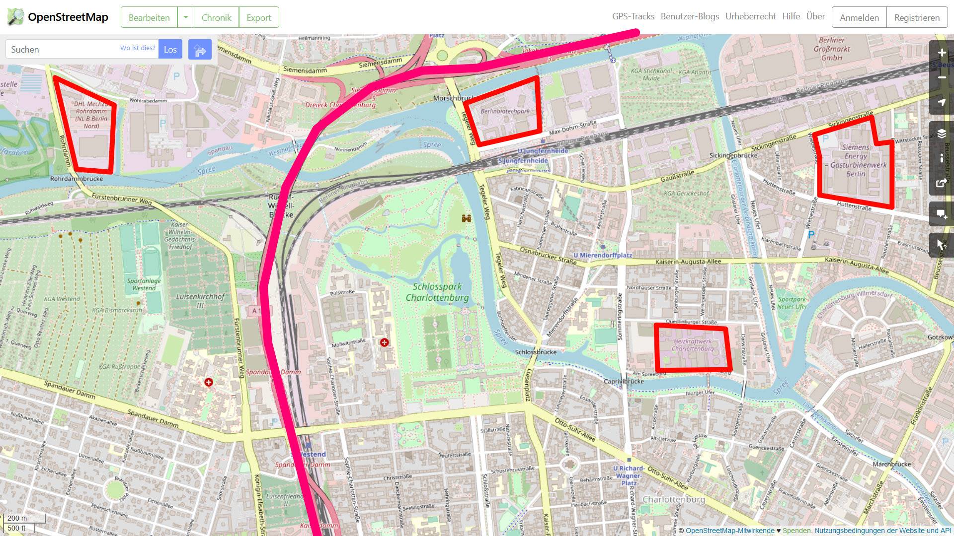
I have a MultiPolygonZ layer of Project Sites (ca. 700 features, mostly 1 polygon per feature) and want to get the shortest distance on a road network to the nearest subset of a line layer, e.g. the next highway, by driving on the whole line layer. Lets say, I want to do it with multiple subsets (e.g. highways or trunk roads).
I would take the road network from OSM.
This seems to be a combination of distance matrix and networks as far as i understand:
- Distance matrix because for every location, there will be many lines which can be the nearest subset of roads (e.g. highways). Our destination can be any of them.
- Networks because well, we will use a road network to get to it.
It is possible to use "shortest path point to point" if you convert both the origin to points, and the destinations to points. Is it possible with a different way than point to point network analysis?

