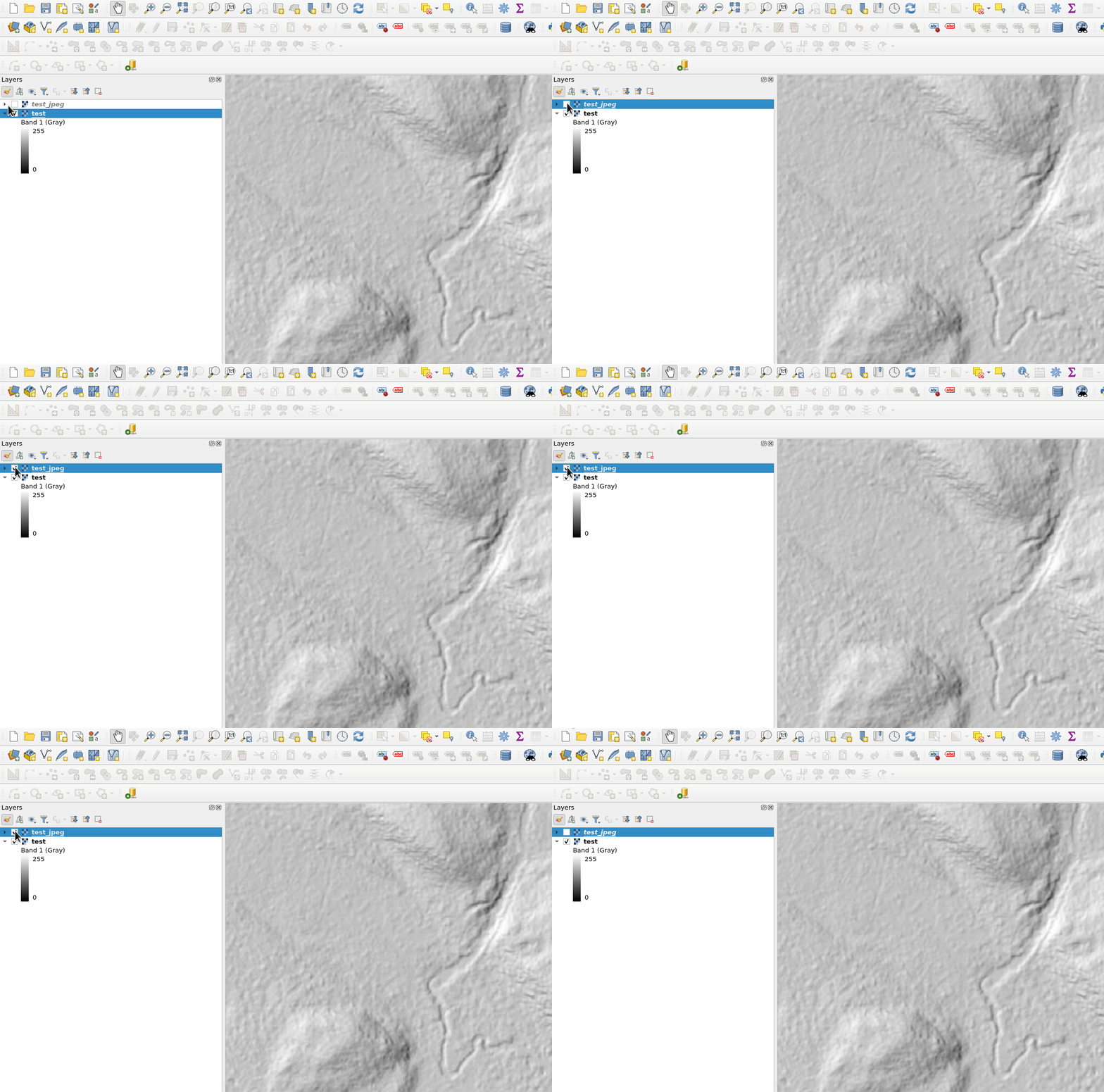
I have a hillshade which I want to compress using JPEG compression:
gdal_translate -co COMPRESS=JPEG -co TILED=YES /home/bera/Drives/ssd1/Hillshades/testhillshade.tif /home/bera/Drives/ssd1/Hillshades/testhillshade_JPEG.tif
Input file size is 25000, 35000
Warning 1: /vsimem/gtiffdataset_jpg_tmp_0x55c683c3bb30: NBITS=32 is invalid for data type UInt16. Using NBITS=16
ERROR 1: JPEGSetupEncode:BitsPerSample 16 not allowed for JPEG
0...10...20.ERROR 1: JPEGSetupEncode:BitsPerSample 32 not allowed for JPEG
.ERROR 1: An error occurred while writing a dirty block from GDALRasterBand::IRasterIO
ERROR 1: JPEGSetupEncode:BitsPerSample 32 not allowed for JPEG
ERROR 1: JPEGSetupEncode:BitsPerSample 32 not allowed for JPEG
I dont understand what the error is telling me.
gdalinfo /home/bera/Drives/ssd1/Hillshades/testhillshade.tif
Driver: GTiff/GeoTIFF
Files: /home/bera/Drives/ssd1/Hillshades/testhillshade.tif
Size is 25000, 35000
Coordinate System is:
PROJCRS["SWEREF99 TM",
    BASEGEOGCRS["SWEREF99",
        DATUM["SWEREF99",
            ELLIPSOID["GRS 1980",6378137,298.257222101004,
                LENGTHUNIT["metre",1]]],
        PRIMEM["Greenwich",0,
            ANGLEUNIT["degree",0.0174532925199433]],
        ID["EPSG",4619]],
    CONVERSION["Transverse Mercator",
        METHOD["Transverse Mercator",
            ID["EPSG",9807]],
        PARAMETER["Latitude of natural origin",0,
            ANGLEUNIT["degree",0.0174532925199433],
            ID["EPSG",8801]],
        PARAMETER["Longitude of natural origin",15,
            ANGLEUNIT["degree",0.0174532925199433],
            ID["EPSG",8802]],
        PARAMETER["Scale factor at natural origin",0.9996,
            SCALEUNIT["unity",1],
            ID["EPSG",8805]],
        PARAMETER["False easting",500000,
            LENGTHUNIT["metre",1],
            ID["EPSG",8806]],
        PARAMETER["False northing",0,
            LENGTHUNIT["metre",1],
            ID["EPSG",8807]]],
    CS[Cartesian,2],
        AXIS["easting",east,
            ORDER[1],
            LENGTHUNIT["metre",1,
                ID["EPSG",9001]]],
        AXIS["northing",north,
            ORDER[2],
            LENGTHUNIT["metre",1,
                ID["EPSG",9001]]]]
Data axis to CRS axis mapping: 1,2
Origin = (380000.000000000000000,6315000.000000000000000)
Pixel Size = (0.500000000000000,-0.500000000000000)
Metadata:
  AREA_OR_POINT=Area
Image Structure Metadata:
  INTERLEAVE=BAND
Corner Coordinates:
Upper Left  (  380000.000, 6315000.000) ( 13d 1'35.12"E, 56d57'46.80"N)
Lower Left  (  380000.000, 6297500.000) ( 13d 2' 4.88"E, 56d48'21.16"N)
Upper Right (  392500.000, 6315000.000) ( 13d13'54.79"E, 56d57'57.86"N)
Lower Right (  392500.000, 6297500.000) ( 13d14'21.45"E, 56d48'32.16"N)
Center      (  386250.000, 6306250.000) ( 13d 7'59.08"E, 56d53' 9.65"N)
Band 1 Block=25000x1 Type=Float32, ColorInterp=Gray
  NoData Value=-9999
Why doesnt it work?

