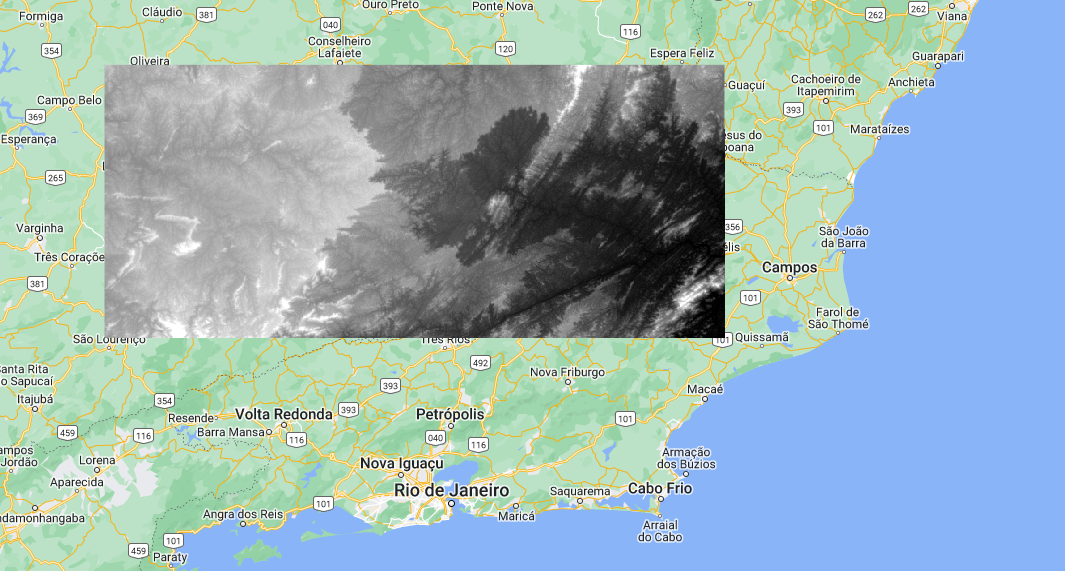
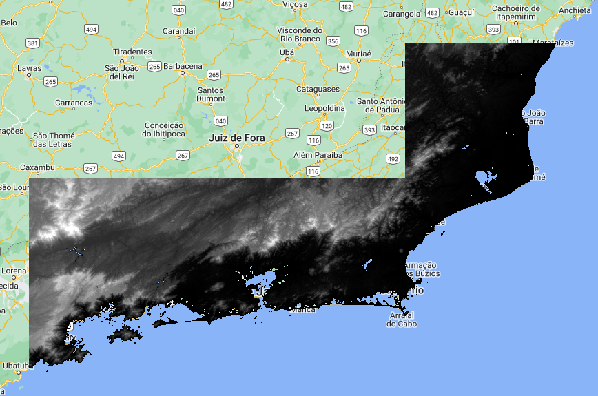
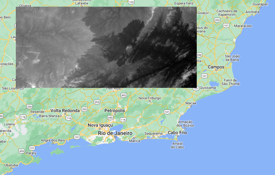
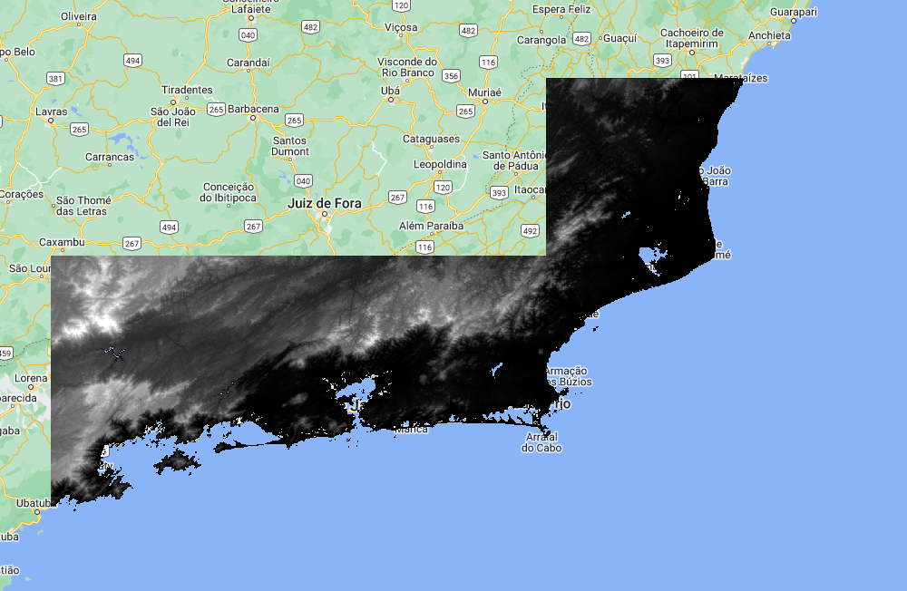
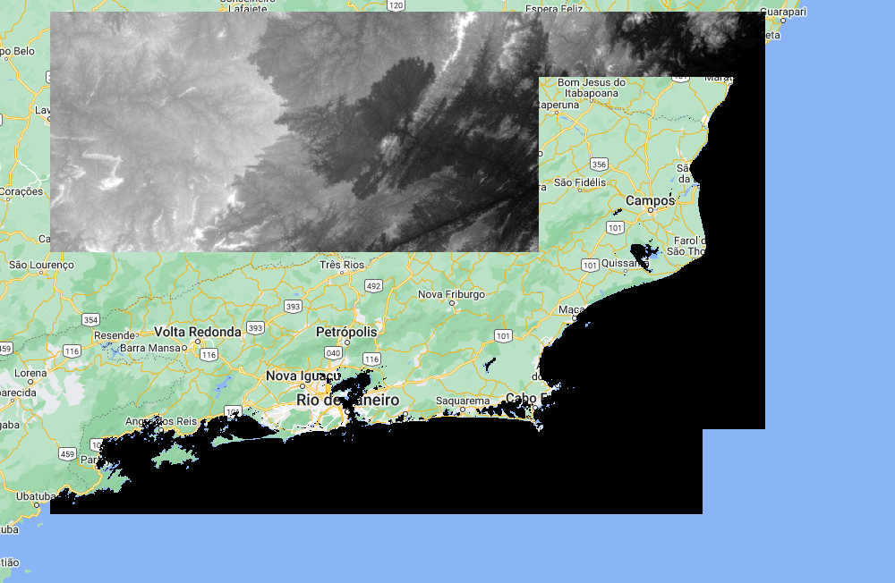
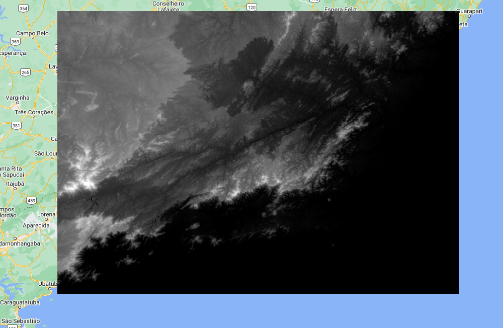
I have two different DEM images that I am trying to blend. The first is based on SRTM (DEM1) and the second on coastalDEM (DEM2), with different but overlapping areas.
When I do
var DEMblend = DEM2.blend(DEM1);
Map.addLayer(DEMblend, {}, 'DEMblend');
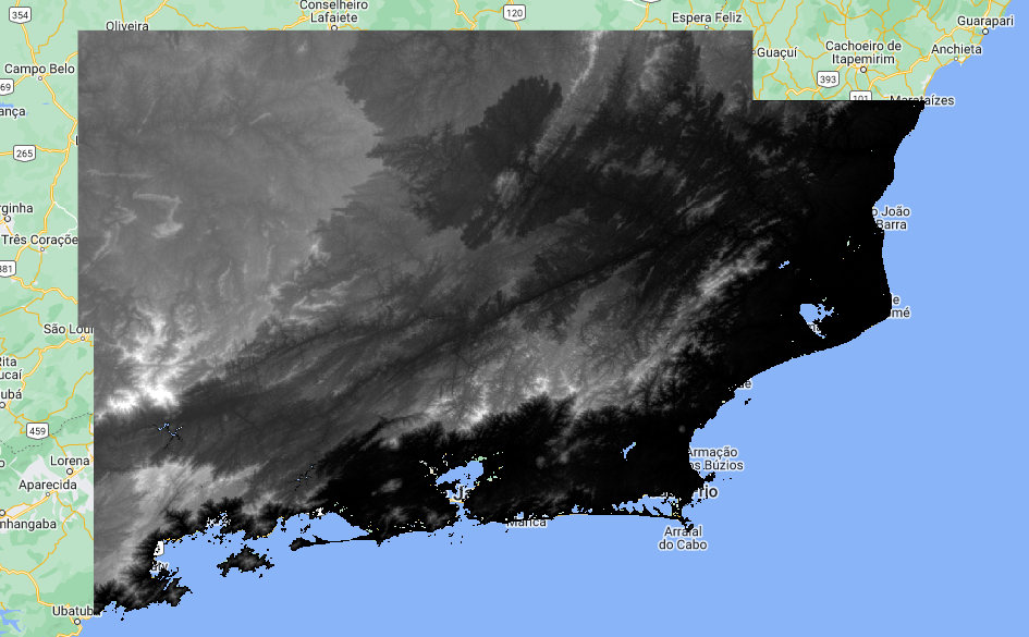
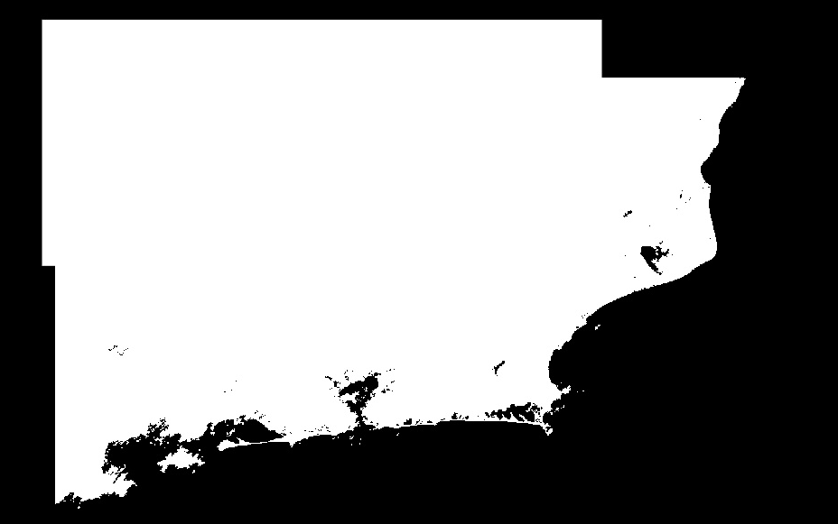
I see what I would expect, the two images blended together. However, when I use the inspector or any other further analysis, Google Earth Engine believes that DEMblend only returns unmasked values for the area of DEM1. Furthermore, the areas of DEMblend.unmask() and DEMblend.mask() are not the same.
Has anyone run into anything like this before? This is a section of some fairly complicated code, but I can pull out a minimal working example if it would help.

DEM2.blend(DEM1).set('system:footprint', DEM1.geometry().union(DEM2.geometry()))