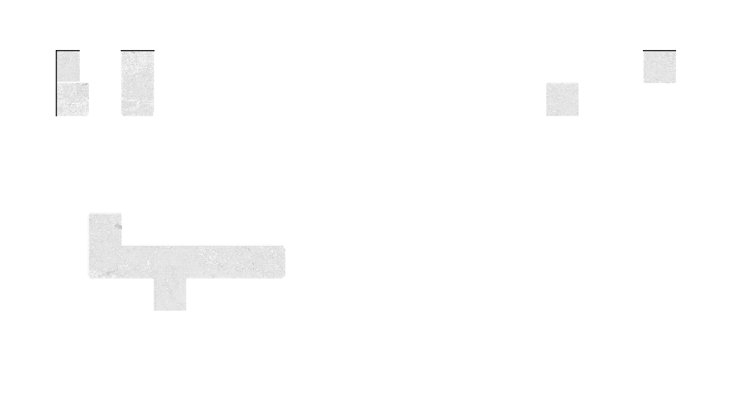
I have very large raster, whih is basically merge of smaller rassters :

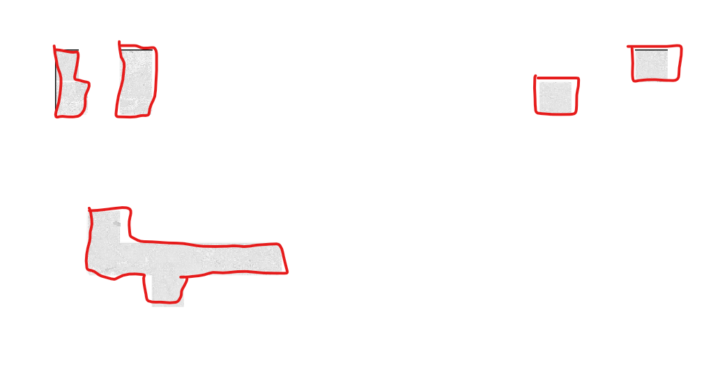
I would like to create separate polygons for each "group" of pixels with values, to get something like this (sorry for the quality of drawing, it suppose to be separate polygons):

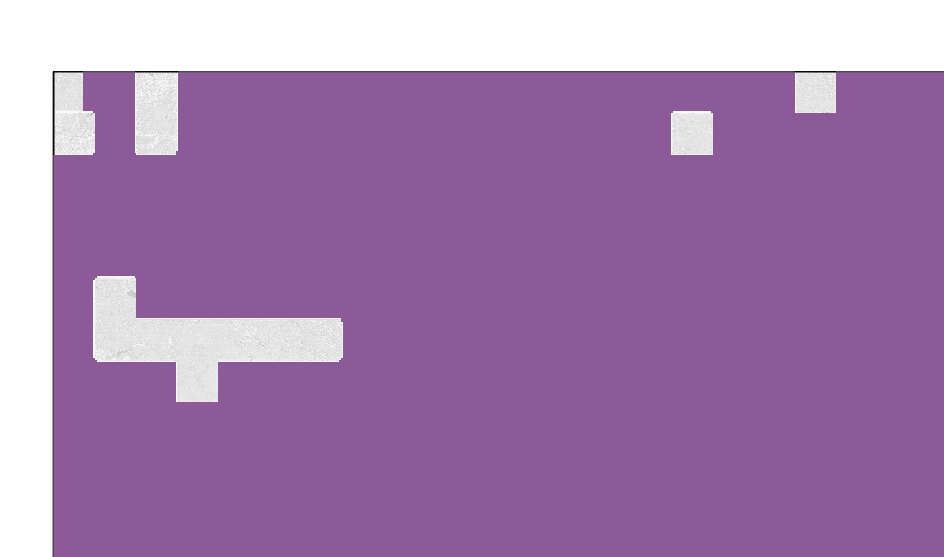
I have tried to do this with qgis tool "extract layer extent" , but it did not break the small rasters into polygons, but created large polygon based on the extent:

As this didn't work, I was looking for solution like "difference" but between polygon and raster, however, I haven't found yet, and as the raster extent is very large it seems to not work.
I'm looking for other tools/plugins that I can use in order to get separate polygons for the not null grouped pixels.
Edit: for now I have made not very esthetic workaround,which is to generate small polygon around each part-raster, clip it (to break the big raster to small raster), then vectorize the small raster and then dissolve the pixels-polygons. However, I'm still looking for better methods to do that ,I'm sure there are.
