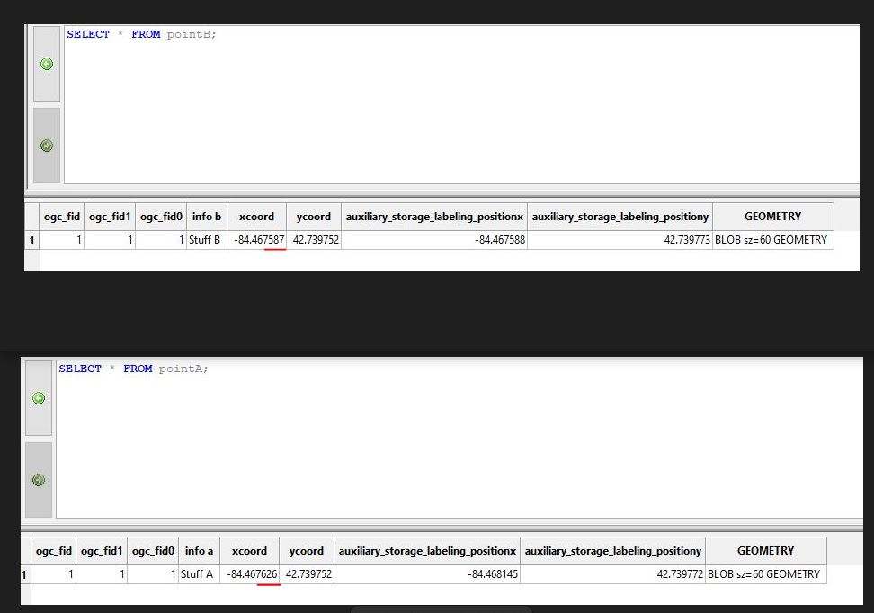
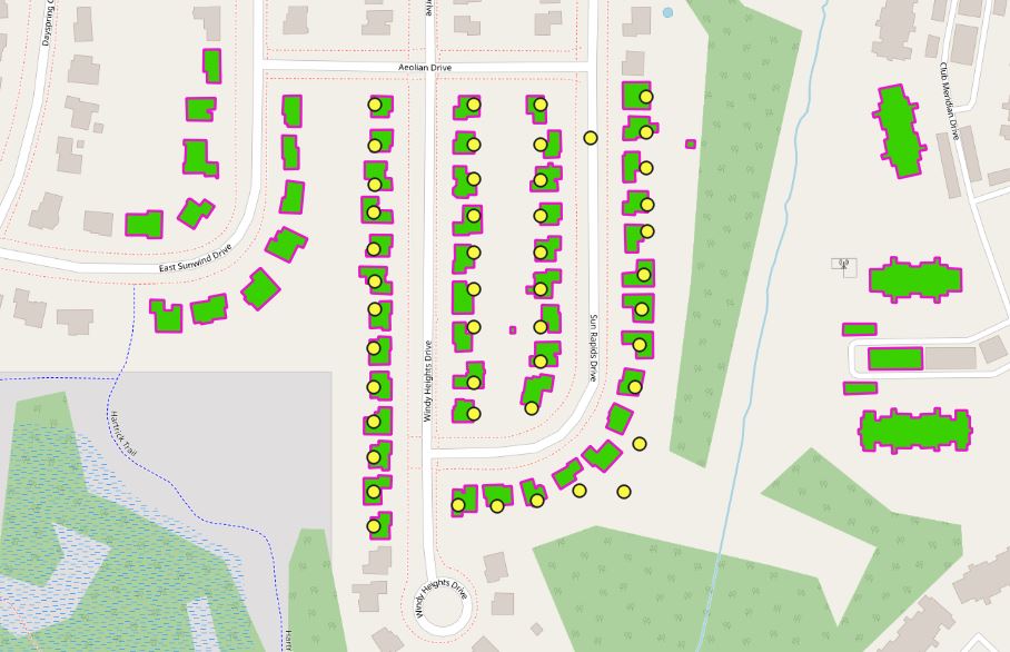
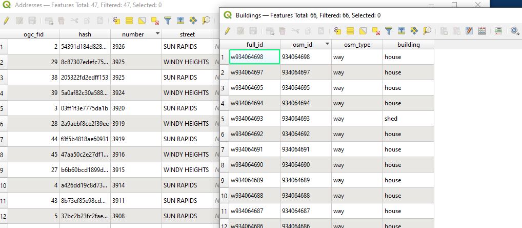
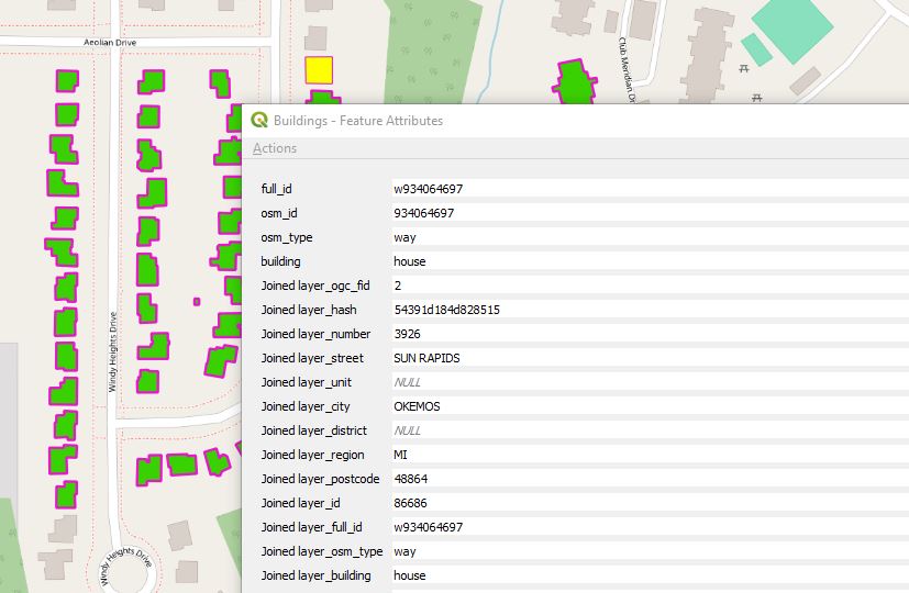
The example I am showing is a VERY simplified version of my dataset which actually represents 100's of points. I have point A representing a building (centroid of the building polygon), but no other relative attribute info. Point B contains the address attribute information for that building.
Looking at the simplified table info, there isn't anything relatable between the two layers, other than they are fairly close to each other. Is there a spatial query I can create that would join these two tables, maybe somehow based on the X coordinates being with a few hundreds in distance from each other or maybe create a buffer in GIS? I don't really know much about creating SQL queries, so honestly I really don't know where to start.


