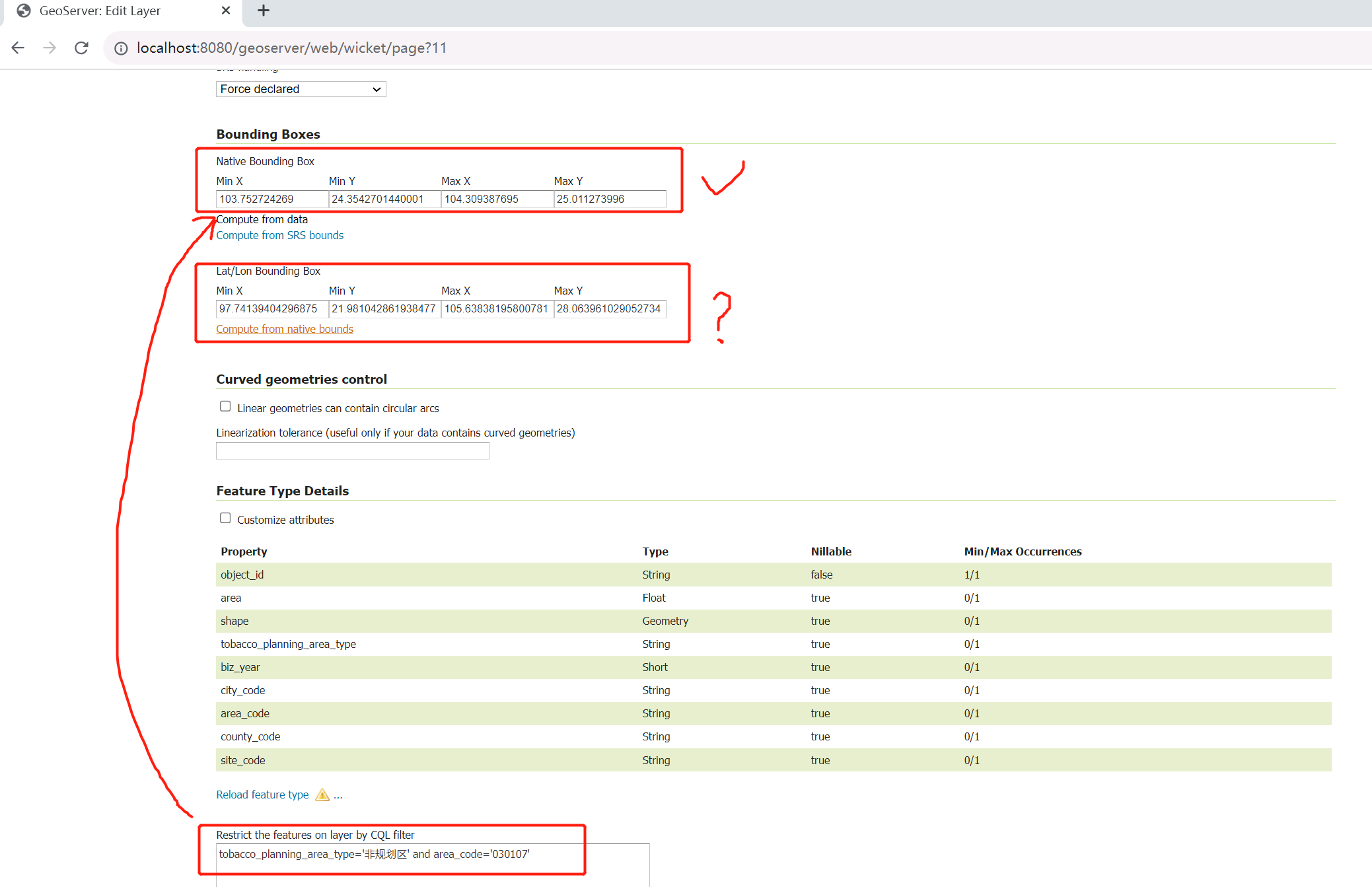
Scenario description:
- GIS data volume is tens of millions and requires the creation of multi-dimensional layers, using WTMS's tile cache for rendering
- Using the CQL_FILTER condition to filter data and render layers with specific conditions
- There are a large number of layers, and the creation and configuration of layers are batch processed using Java API calls
Problems that occurred: The boundary values of the layer are calculated by default based on the data source, without narrowing down the range according to the set CQL_FILTER condition, resulting in a large number of useless blank images occupying a lot of storage space in the cache slice and thus increasing the cache time
Expected solution:
After setting CQL_FILTER, the layer boundary values can be recalculated. This function can be achieved by manually operating the geoserer management interface, but no solution was found through the API interface

