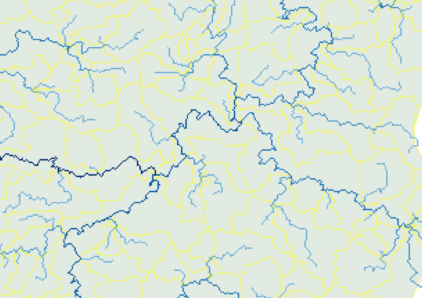
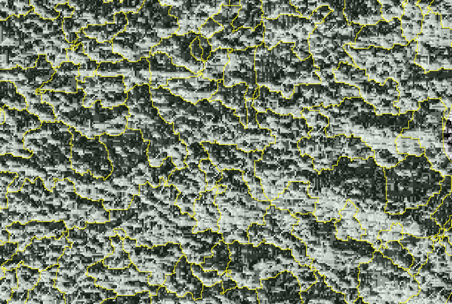
I have a polygon layer in QGIS with self-created sub-catchments. I also have a DEM, a flow-direction raster and a raster with the corresponding stream network and stream order. I would like to create a new attribute in the polygon layer that specifies the flow direction from one polygon to the next.
sub-catchments and stream network:

sub-catchments and flow direction:
 For example, SE_NR is a unique ID for a polygon feature and SE_IN is the next polygon feature in terms of flow direction. What I have is SE_NR and I want to get SE_IN.
SE_NR       SE_IN
882682001   882682006
882682003   882682006
882682006   882682005
882682007   882682005
882682005   882682004
882682002   882682004
882682004   882683006
882681001   882681002
