Okay I'm going to propose a solution based on the functionality of the open source GIS, Whitebox GAT (http://www.uoguelph.ca/~hydrogeo/Whitebox/) because it's easy to do in this software and it's what I use. I imagine, given the cost of ArcGIS, that there are equivalent methods in Arc however.
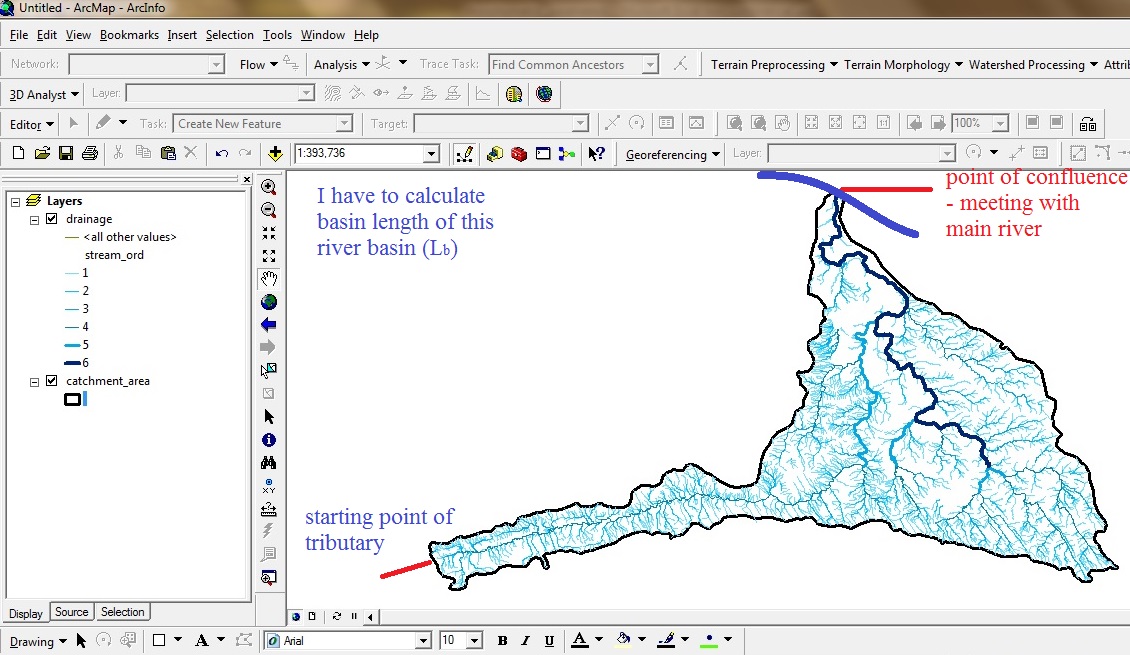
I assume based on your image that you have a hydrologically corrected (depressions removed DEM) already. If you do not, then I'd point you to Whitebox's Fill Depressions and Breach Depressions tools.
Import your DEM into Whitebox using the 'Import ArcGIS binary grid (.flt)' tool. This will convert an Arc floating point grid into the native Whitebox file. If you have a raster basin file already, then import this file too. If you only have the basin vector file (as displayed above) then Whitebox's native vector format is a shapefile, so you probably don't need to import it. However, it will need to be converted to a raster of the same dimensions and grid resolution as the DEM so use Vector Polygon to Raster tool, specifying the DEM as the base grid.
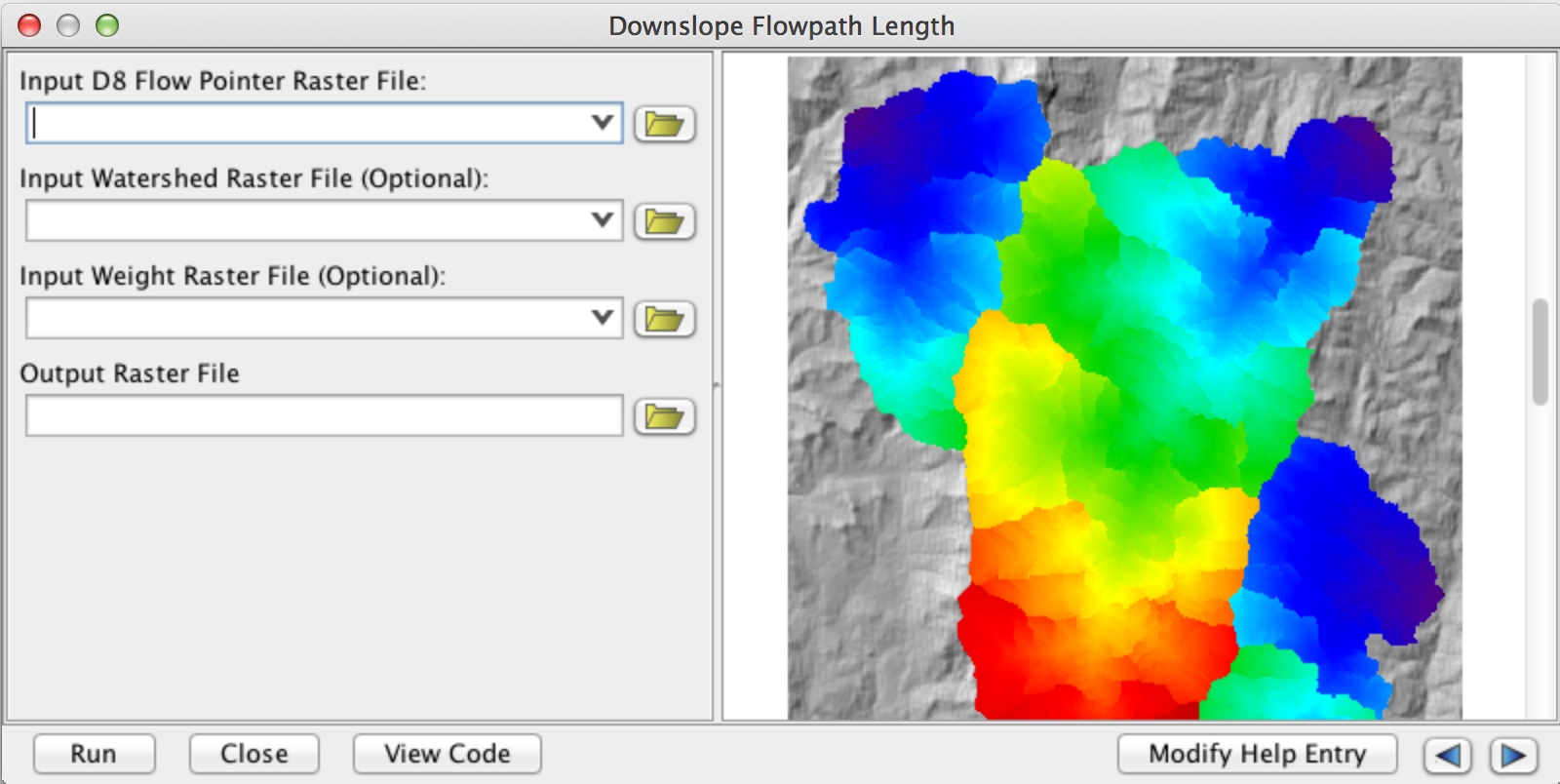
Run the 'Downslope Flowpath Length' tool. It'll require a D8 flow pointer grid, which you can easily extract from your DEM (D8 flow pointer tool), as well as your rasterized basin (watershed) raster.
Use the 'Extract Statistics' tool specifying the flowpath length raster as the data raster and the basin file as the feature definition raster. Extract the 'maximum' statistic. This will spit out a text file that will contain the maximum flowpath length in your basin. The nice thing about this approach, is that it'll calculate this for any number of basins simultaneously.
Good luck and let me know if you have any questions.


