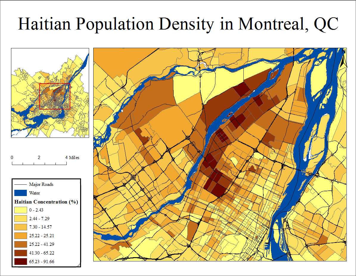
I have constructed a basic map of population density for a given group over an area, and I am creating a keyframe to show the overall area with my extent indicator labelled.
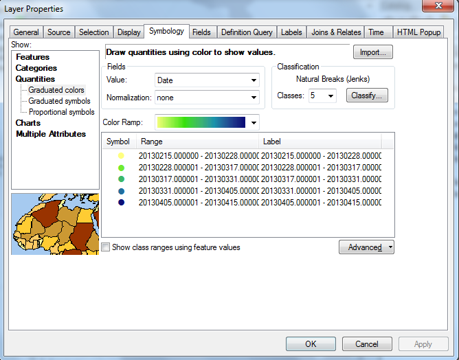
The problem is that the grey outlines between city zones at such a large scale become visual clutter, and I'd like to remove them from that layer. I'm having difficulty finding a way to alter the color (and select no color) for the outlines in that keyframe layer since I'm using graduated colors, where the option to alter outline color/width is not available.
Does anyone know a way to do so using ArcMap 10.1?
Here's the web of grey borders


