6

I made a DEM layer from a .las file (LiDAR).

How can I remove the black area which contains negative values? Is it possible to set these values equal zero or null?
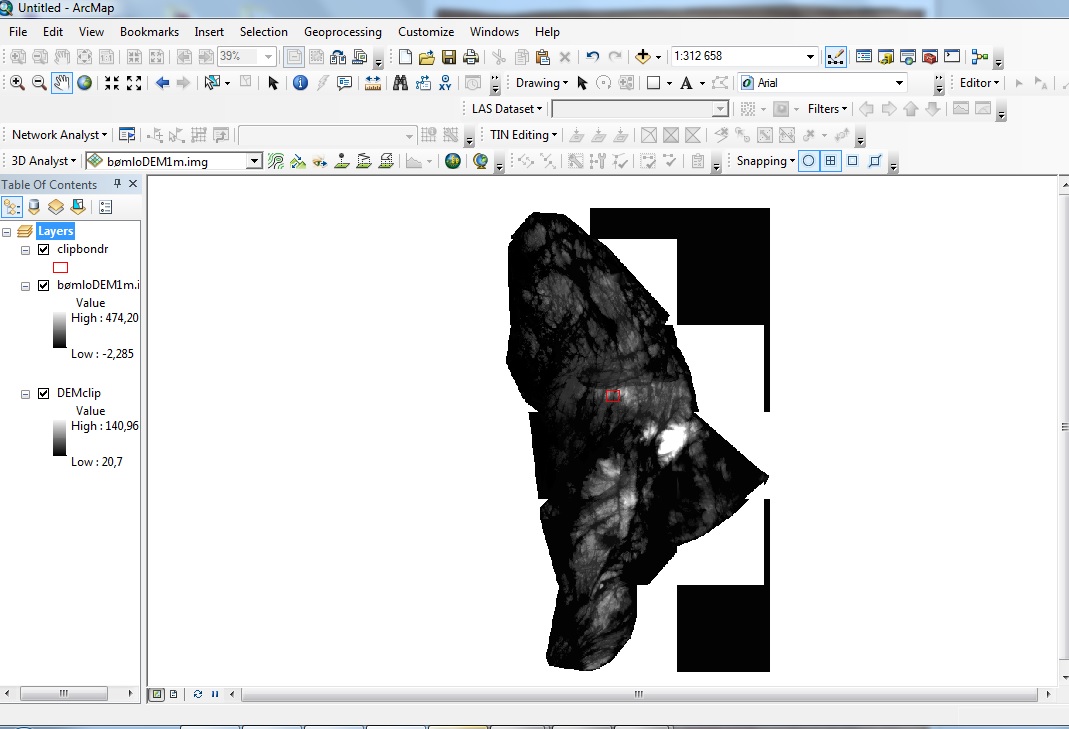
enter image description here

3
  • Do you have the Spatial Analyst extension? You can do this with a CON statement in Raster Calculator.
    – Dan C
    Commented Apr 21, 2014 at 21:00
  • yes I have spatial analyst extension. But would you explain more about how to do it with CON?
    – user28541
    Commented Apr 21, 2014 at 21:12
  • 1
    I don't think CON is what you want to use here, it will give you values for ALL of the raster except where the input is null, no better than what you have. SetNull with a condition is the way to go if you want only values greater than/greater than or equal to 0. If you want the outside cut off and assuming you have a boundary for your LiDAR data then extract by mask using the boundary as a mask. There is an excellent post here on getting a boundary from a TIN: gis.stackexchange.com/questions/92264/… Commented Apr 22, 2014 at 1:56

1 Answer 1

13

You can use tool Raster Calculator.

Then type this expression:

SetNull("raster_name"<0, "raster_name")

Choose output and you should create new raster with elevation 0-n.

2
  • 1
    Great approach by dmh126. I'd just want to add in case of using any other value than 0, it has to be an integer and not a float. Commented Nov 20, 2018 at 20:24
  • I had one that has in negative and tried this way and it worked !
    – PROBERT
    Commented Feb 24, 2021 at 18:08

Your Answer

By clicking “Post Your Answer”, you agree to our terms of service and acknowledge you have read our privacy policy.

Not the answer you're looking for? Browse other questions tagged or ask your own question.