I added the GeoBrain WCS server to the server list:
http://geobrain.laits.gmu.edu/cgi-bin/gbwcs-dem?version=1.0.0&
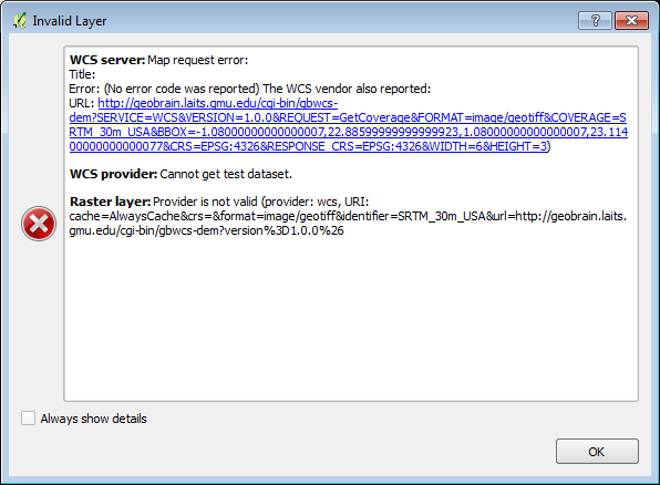
I connect to the server and get a list of layers. I select the first one listed - SRTM 30MUSA and select ADD. My map window is displaying a region in NM, the project CRS is EPSG:4326. The response is

Note that the bbox is nonsense.
Any idea what I'm doing wrong?
Edit: This question is closely related, asking how to use a clip region to set the bbox in a WCS request, and the example is also GeoBrain.
