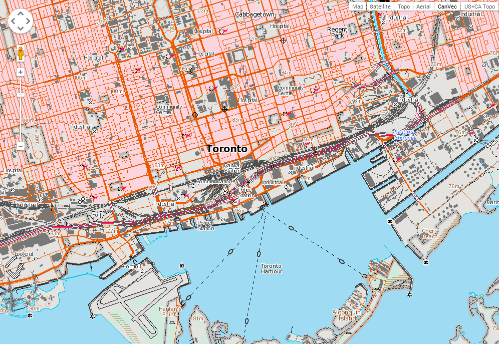
Does anyone know of a public CanTopo WMS / WMTS available anywhere? I'm assuming CanTopo is more modern / up-to-date than Toporama?
Alternatively, what would be your suggestions for the most pain free and cheapest version to host such a service myself?
The data seems to be freely available here: http://www.nrcan.gc.ca/earth-sciences/geography/topographic-information/data/11042

