I am a developer of the open-source GIS Whitebox GAT, which contains several image processing tools including a tool called Mosaic With Feathering. I doubt that it is as sophisticated as ERDAS or ENVI tools, but it will create a seamless mosaic using a feathering scheme.
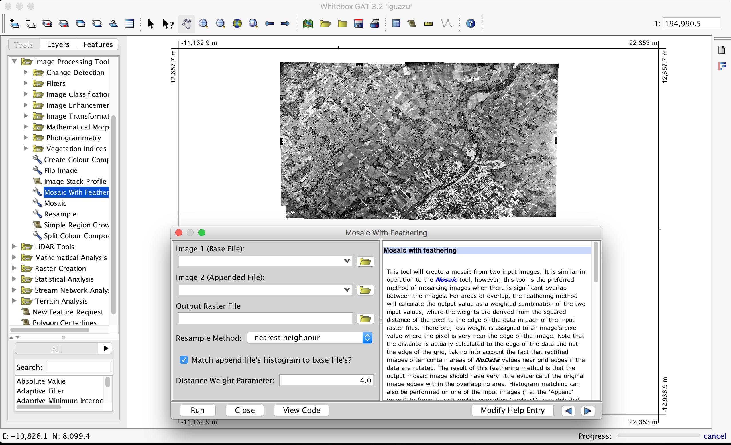
A detailed description of the process can be found in the linked tutorial. You can use the Find Tie Points tool to automatically identify tie points between the images that you are mosaicing if they are not geo-registered. I should mention as well that you will likely have to mosaic the individual bands prior to creating a colour composite image.
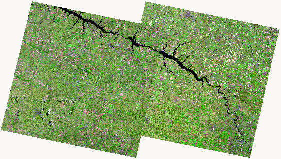
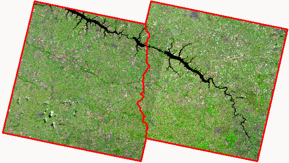
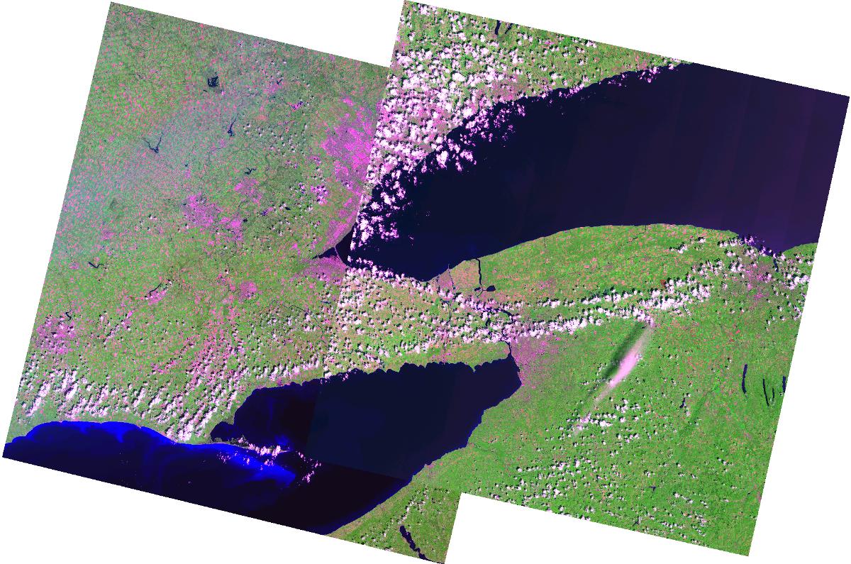
Here is an example of a Landsat 8 band 753 colour-composite without seamless mosaicing:
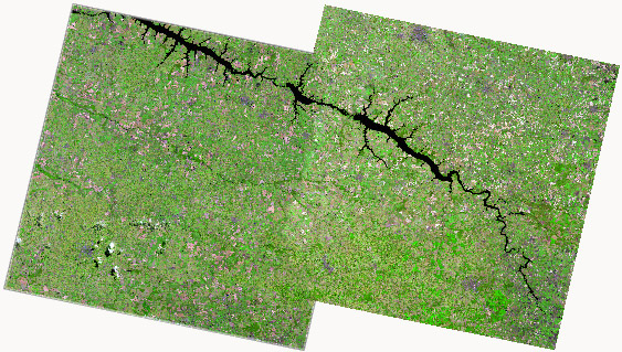
And here is the same image with the use of the Mosaic With Feathering tool:
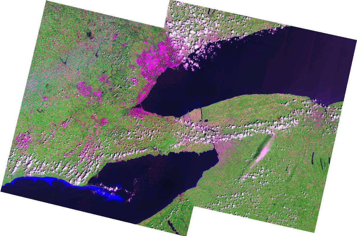
The tool applies histogram matching to the images to further improve the mosaic and the Create Colour Composite tool will apply a balance contrast enhancement (BCE) to the individual bands when you combine the mosaiced bands to form a colour composite image. The feathering during the mosacing is based on a distance-weighted scheme but there is no 'cut line' and you do not need to specify any input image polygons.
