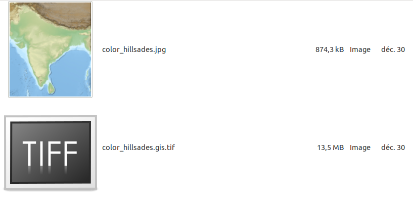
Given as input a light 874kb jpg, I use gdal_translate -a_ullr (source) to reinject GIS georeferencing :
-a_ullr ulx uly lrx lry :
Assign/override the georeferenced bounds of the output file. This assigns georeferenced bounds to the output file, ignoring what would have been derived from the source file
My command being:
gdal_translate -a_ullr 67.0 37.5 99.0 05.0 ./color_hillsades.jpg ./color_hillsades.gis.tif
While the input is .874MB, the output is 13.5MB, or 15.51 times bigger.

Why does it become so huge ?
What to do to keep it light ?


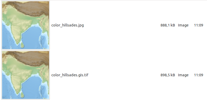
-co COMPRESS=JPEGwhich dived size by factor 10, the question gdal_translate- why jpg compressed tif is 2 times greater than jpg file? have for answer-co PHOTOMETRIC=YCBCR, a tiny optimization by factor <2. Not the same issue.