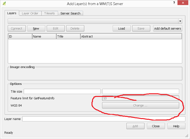
We have a WMS on Geoserver (version 2.6.1) which we are using to view in QGIS. For some reason when importing to QGIS it defaults to World Mollweide (EPSG:54009). The process is as follows:
Add connection:
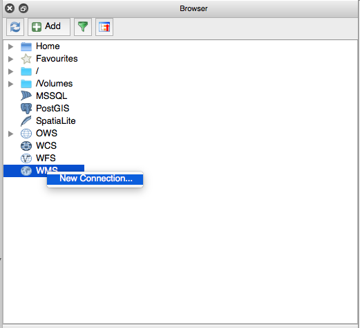
With the path http://www.ga.gov.au/geophysics-rockpropertypub-gws/ga_rock_properties_wms/ows
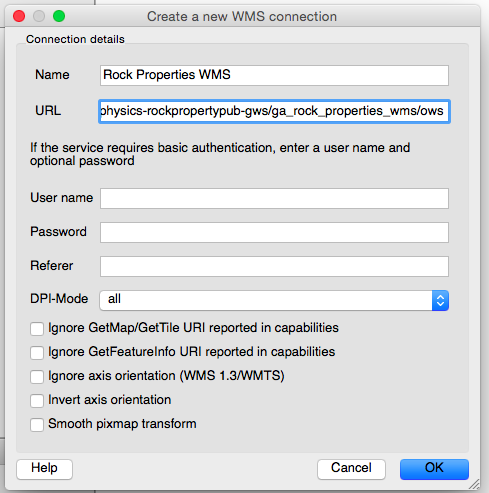
This gives us all our WMS Layers:
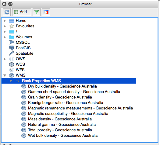
And if we add a couple:
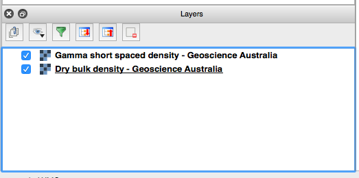
We get a strange projection for the project:

If we look at the properties of the gamma short spaced density layer
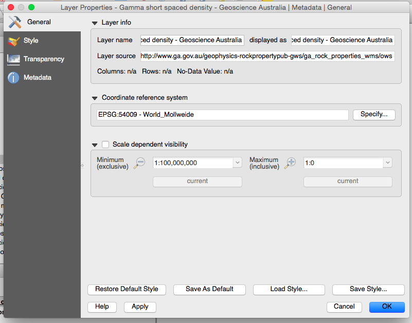
It too has defaulted to World Mollweide. The layer source string is as follows:
crs=EPSG:54009&dpiMode=7&format=image/png&layers=gamma_short_spaced_density&styles=&url=http://www.ga.gov.au/geophysics-rockpropertypub-gws/ga_rock_properties_wms/ows
So what is the reason for this? We want the default to be EPSG:4326 at the minimum, although we would prefer EPSG:4283. How can we fix this? Is it a problem with QGIS or the WMS?

