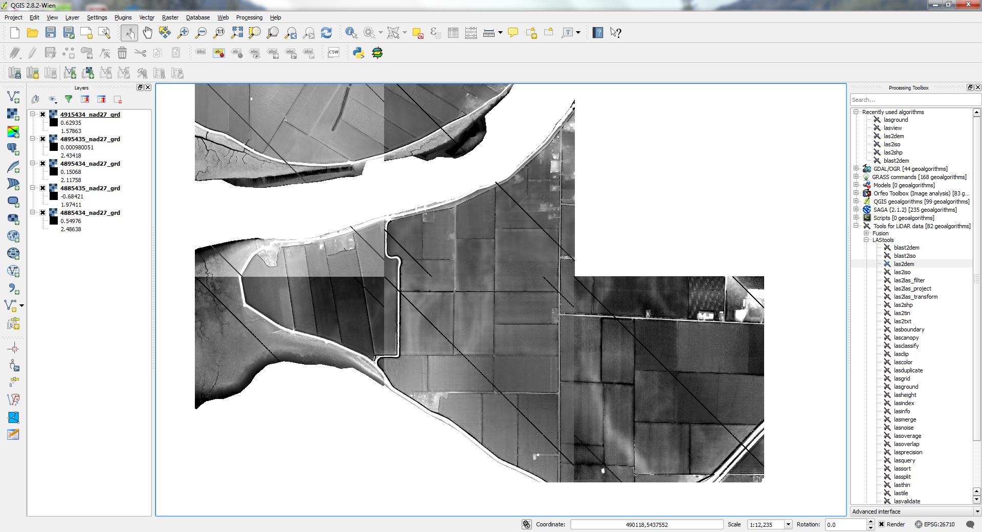
I've created a series of DEM files using the las2dem tool from LAStools; however since I don't have a licensed version they have black streaks running across them. Does anyone know a good method for removing these streaks?

I've created a series of DEM files using the las2dem tool from LAStools; however since I don't have a licensed version they have black streaks running across them. Does anyone know a good method for removing these streaks?

As mentioned by Aaron, two options are:
i) acquiring a licensed version from LAStools which won't add the streaks in the DEM from the las2dem tool.
ii) using an alternative [free] software. For example:
MCC-LiDAR:
Fusion (running from QGIS):
iii) try using blast2dem tool (free version) as suggested in LAStools' answer.
PDAL's writers.gdal supports IDW-style interpolation which may be useful depending on the situation. The PDAL workshop provides an exercise describing how to use it to create a DTM and a hillshade with gdaldem.
You can also use the blast2dem tool instead of the las2dem which has a much higher "free" limit of 6 million points per file.
At the same time use smaller tiles and also pre-filter the tiles to contain only the points you are interested in (e.g. only class 2 points, only the highest points on a 1 meter grid, only the first returns, ... ).
Make sure you use tiles with buffers to avoid edge artifacts: