1

I'm currently interning with UN-Habitat Vietnam in Hanoi, and am helping them produce some basic maps for community development strategies in the coastal cities of Tam Ky and Quy Nhon. This is my first time working in GIS internationally, and I'm realizing quite quickly the differences between here and North America in terms of reliable data acquisition. I'm having a really hard time tracking down shapefiles for the study areas, and am hoping someone with experience doing GIS work in Vietnam could help out with some pointers.

One thing I should mention, is that I have been provided fairly detailed DWG files for both cities. I personally don't have any experience converting CAD into GIS, but I have begun to poke around in AutoCAD to see what I can come up with. However, the file layers are not organized in any way I can comprehend, and many of the polylines are disconnected, and therefore don't translate well to GIS.

Does anyone know where to look for shapefiles in Vietnam?

1
  • You may want to look at the Open Data Stack Exchange.
    – PolyGeo
    Commented Jul 1, 2016 at 22:45

2 Answers 2

1

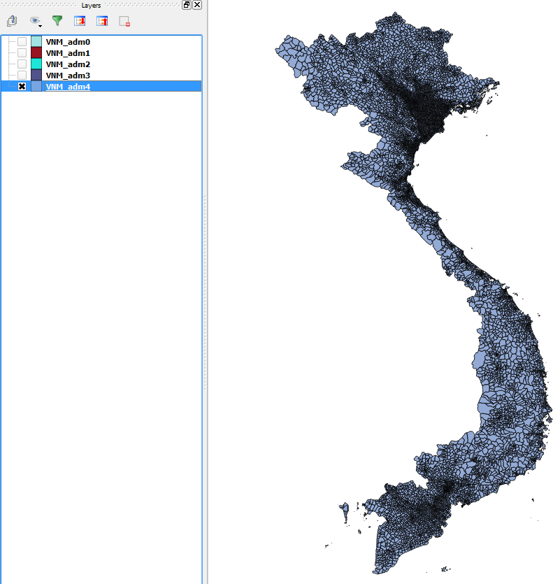
DIVA-GIS has quite a comprehensive list of detailed shapefiles which might be useful. You can select Vietnam from the list of countries (I chose Administrative areas for the following image):

Vietnam

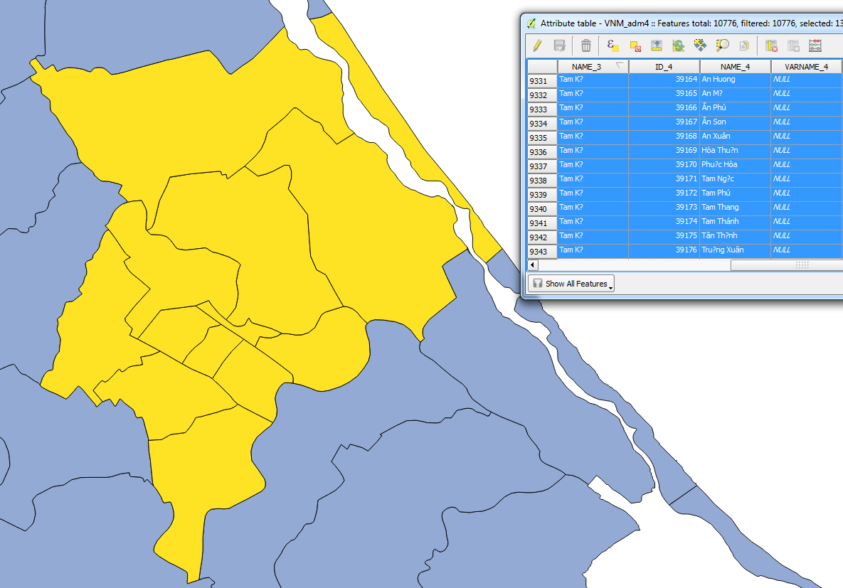
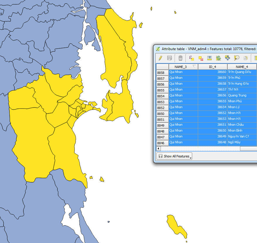
Note that the attribute table in my QGIS version hasn't been encoded correctly to Vietnamese, therefore some characters in the names might be incorrect.

Tam Kỳ:

Tam Kỳ

Qui Nhơn:

Qui Nhơn

Hope this helps!

2
  • 1
    Thanks Joseph! I guess I should have specified what exactly I'm looking for. I actually came across the DIVA-GIS shapefiles the other day, but unfortunately they are lacking some of the finer details I was hoping to find, i.e., road network, waterways, and smaller, block level data. I really appreciate the help, though, and hopefully I can track something down.
    – mrDawit
    Commented Aug 1, 2015 at 14:30
  • @DavidFiske - Most welcome buddy, hope you find the data you're looking for!
    – Joseph
    Commented Aug 5, 2015 at 9:15
0

Maybe the map of the world with AutoCAD can be found here:

http://www.tonythanh.com/architecture-acad-dwg-block/world-map-cad-block-simple-world-map-autocad-drawing-countries-map/

Your Answer

By clicking “Post Your Answer”, you agree to our terms of service and acknowledge you have read our privacy policy.

Not the answer you're looking for? Browse other questions tagged or ask your own question.