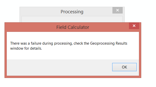
i am new ArcGis 10.2 user and I have the attributed data for the land cover type (I use Raster to point tool) but it does not have the exact latitude and Longitude at the point. Could anyone please help or suggest me some idea about it? I read the website, they said I have to use the VBA script to cope with this problem, I tried but it show  .
.
-
Use this tool resources.arcgis.com/en/help/main/10.1/index.html#//…– LearnerCommented Aug 5, 2015 at 8:39
-
Please add the error you get in the Geoprocessing results window, To Open this window go to the "Geoprocesing" menu at the top of the screen and then select "Results". You will then be able to expand the results for the current session and view the detailed results.– Dan_h_bCommented Aug 5, 2015 at 8:49
-
@Dan_h_b This one is the script. Dim dblX as double Dim pPoint as IPoint Set pPoint = [Shape] dblX = pPoint.X– farisCommented Aug 5, 2015 at 8:57
-
@faris can we see the error message and the code so we can help with the process? Otherwise it's a bit of a poke in the dark...– spk578Commented Aug 5, 2015 at 8:58
-
@spk578 It error show ... 999999: error executing function. :)– farisCommented Aug 5, 2015 at 9:04
|
Show 3 more comments
1 Answer
Use the Add XY Coordinates tool on the points feature class. The tool will add two fields Point_X and Point_Y.
Be careful of:
- The coordinate system being used by the data itself as the tool add's Latitude and Longitude values as appropriate for Geographic Coordinate Systems and vs linear positions for Projected Coordinate Systems.
- The tool calculates the X and Y based on the CRS of the data source not the data frame.
