3

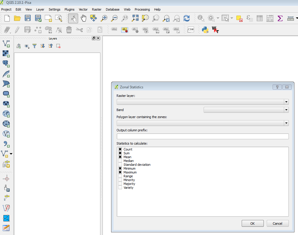
enter image description here

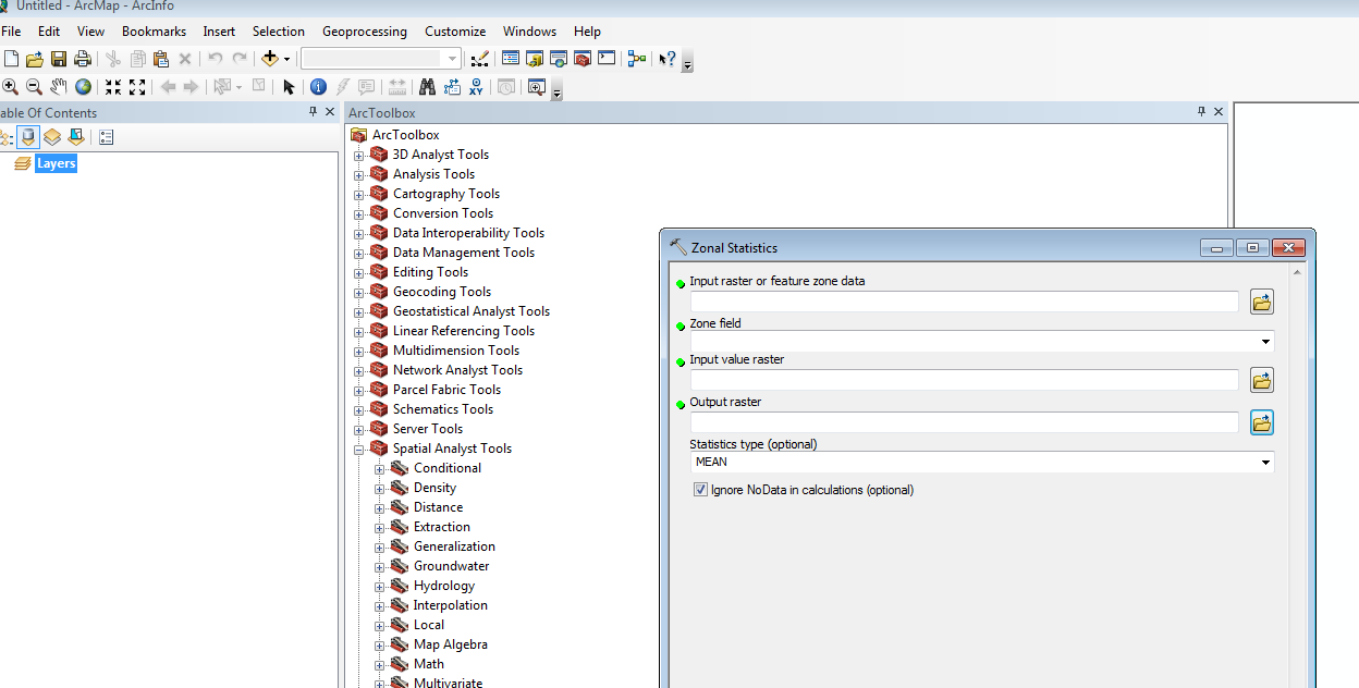
enter image description here

I am working back and forth between QGIS to ArcGIS for various tasks. So far, for my task, I have found similar tools and options between them. However, for my current task, to calculate the zonal-statistics between multi-band raster and a feature shapefile, the QGIS has option to select the band, but ArcGIS doesn't any option to choose the band. For the single band raster, their zonal statistics results are similar, but in multi-band raster their results are different (that is OK).

Therefore, I am interested to know how ArcGIS calculates the zonal summary out of multiple bands and combine them to one. Can anyone please shed some lights how Arc handles multiband internally and come up with single zonal-stat of multiple bands?

2 Answers 2

5

With a multi-band raster input, ArcGIS will only process the first band:

Multiband raster data

When a multiband raster is used as input, most Spatial Analyst tools operate only on the first band.

The exceptions are certain tools in the Multivariate and Extraction toolsets which do process each of the bands in a multiband input and can create a multiband output.

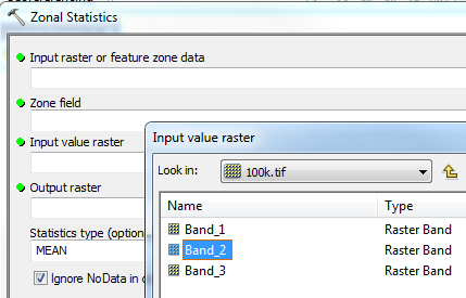
If you want to specify a particular band, then add the band, not the raster:

enter image description here

0
1

You can try Zonal Statistics for Multiband Rasters - QGIS plugin. This plugin in QGIS platform maybe helpful.

Your Answer

By clicking “Post Your Answer”, you agree to our terms of service and acknowledge you have read our privacy policy.

Not the answer you're looking for? Browse other questions tagged or ask your own question.