I am developing a web mapping application based on OpenLayers and using a WMS layer from MapServer (the source data for this layer is stored in PostGIS database) and I am facing the following problem: MapServer eliminates a lot of features at the lowest zoom levels.
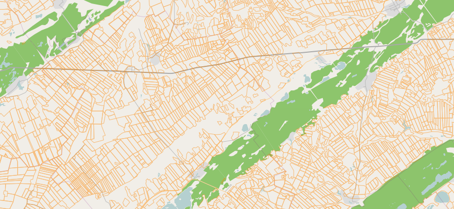
Zoom Level 10:

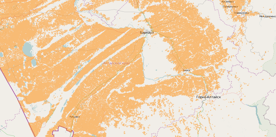
Zoom Level 7:

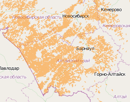
Zoom Level 5:

Zoom Level 4:

Zoom Level 3:

I guess it is because MapServer doesn't display features with area less than one pixel. Is it possible to render such features at lowest zoom levels (for example as one pixel features)?
UPD.: I'm talking about orange features, green ones - it is part of OSM tiles.
Here is my mapfile:
MAP
SIZE 800 600
MAXSIZE 4096

IMAGECOLOR 255 255 255
IMAGETYPE PNG

OUTPUTFORMAT
    NAME "png"
    EXTENSION "png"
    MIMETYPE "image/png"
    DRIVER AGG/PNG
    IMAGEMODE RGBA
    FORMATOPTION "INTERLACE=OFF"
END

EXTENT -180 -90 180 90
PROJECTION
    "init=epsg:4326"
END

WEB
    METADATA
        wms_onlineresource "${request.route_url('mapserver.ows')}"
        wfs_onlineresource "${request.route_url('mapserver.ows')}"
        ows_title "mcx_pk"
        wms_enable_request "*"
        # ows_service_onlineresource  "${request.route_url('mapserver.ows')}"
        wms_srs "epsg:4326 epsg:3857 epsg:900913"
    END
END

LAYER
    NAME "fields"
    CONNECTION "user=pk password=******* dbname=pk host=***.info"
    CONNECTIONTYPE postgis
    PROCESSING "CLOSE_CONNECTION=DEFER"
    DATA "wkb_geometry from mask_f using unique ogc_fid using srid=4326"
    TYPE line
    DUMP TRUE
    TEMPLATE dummy.html
    PROJECTION
        "init=epsg:4326"
    END
    EXTENT -180 -90 180 90
    METADATA
        gml_include_items   "all"
        wms_include_items   "all"
    END
    CLASS
        STYLE
            COLOR 255 136 0
        END
    END
END
