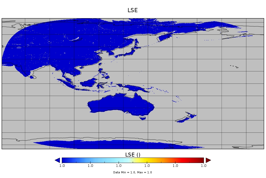
Does anyone know the appropriate project information to georeference (and hence reproject) Himawari-8 AHI data in the IR? The images are 5500x5500 pixels.
Currently I try these:
ulx=-5570248.832537
uly=5570248.832537
lrx=5567248.429179
lry=-5567248.429179
gdal_translate -a_srs  "+proj=geos +a=6378169 +b=6356583.8 +lon_0=140.7 +h=35785831" -a_ullr $ulx $uly $lrx $lry HDF5:"TEST"://img tmp.tif

gdalwarp -srcnodata -32767 -s_srs '+proj=geos +lon_0=140.7 +h=35785831 +x_0=0.0' -t_srs '+proj=latlong +datum=WGS84' -tr 0.03 0.03 -te 55.7 -80 225.7 80 -order 3 tmp.tif FINAL.tif
This, however, results in an image that's not quite right.
Australia and Indonesia almost match a coastline boundary overlay but as one moves further from the subsatellite point there exists a larger and larger offset. See this comparison image:

If someone could point me to the correct code to use for reprojection that would be great. I suspect it's the a_ullr values that I have wrong.
