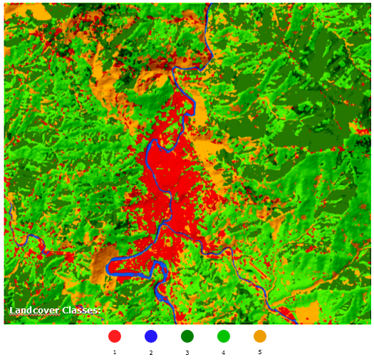
To change the class values of (1,2,3...) based on specific criteria using ENVI, I think you can do it by editing ENVI header file, but first you need to have a copy of the land cover image first before adjusting the header file.
Go to Preprocessing -> Manage Raster Data -> Edit ENVI Header, as you can see in the link. You can then adjust the class name based on the criteria you want.
However, if I were you, I will not follow this process by editing the ENVI header as there is a risk of corrupting the file. If you do not have Spatial Analyst to reclassify the raster image to the specific criteria that you want, you can use open source software like SAGA under QGIS, it has a reclassify tool and you can do the same thing. You can refer to this answer on how to use the reclassify tool in SAGA.
Regarding the second question on how to resample your image using ENVI and change the image spatial resolution from 15m to 30m, go Preprocessing -> Manage Raster Data -> Resize Data. Then set the x,y factor to 0.5 to increase your pixel size by 2x. Choose a resampling scheme, either nearest neighbor or pixel aggregate.

