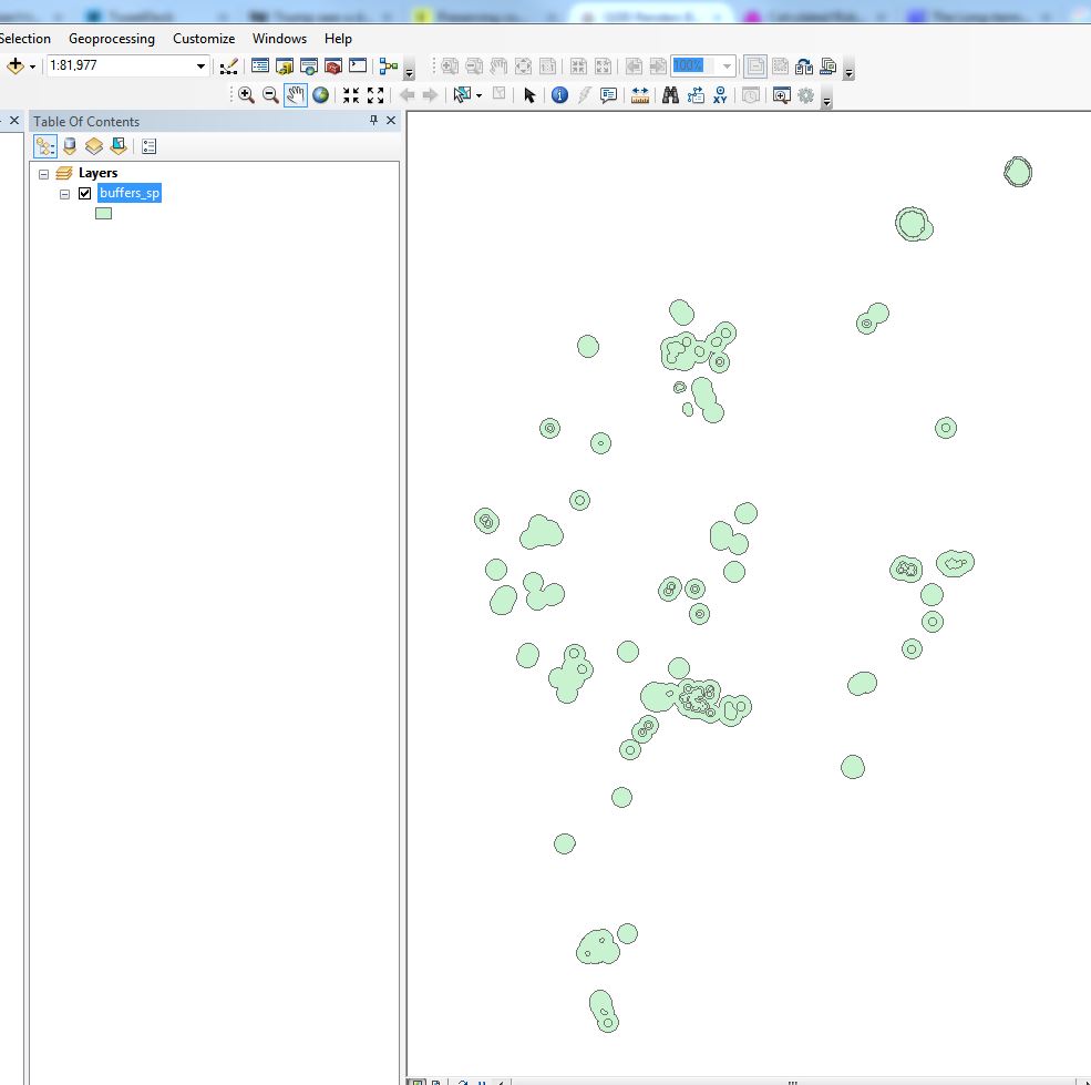
I have a polygon feature class stored in an ArcGIS geodatabase. All of the shapes are buffers of a point layer created using the editor menu's 'Buffer' command. In ArcMap 10.3.1 the data looks like this:
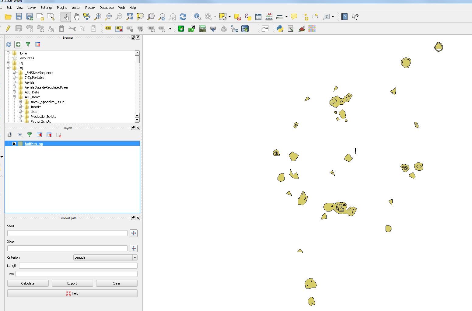
Using the ESRI FileGDB driver, I can bring the data into QGIS (tried on 2.8.6 and 2.8.14). However, the drawing of the buffers is completely different:
 I understand there may be implementation differences that cause this and I probably can't do much about it. What I'm really interested in is if someone knows what accounts for the difference in rendering of circular polygons between ArcGIS and QGIS, or could point me somewhere (ogr documentation? Qgis documentation?) where I might figure this out.

