2

I am trying to generate a flow accumulation and flow length raster from flow direction.

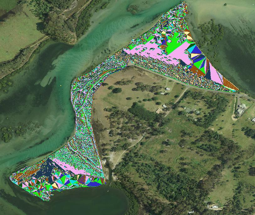
I have successfully generated a flow direction raster from a DEM that was clipped by the 'Clip (Data management tool)'. This was done using the hydrology toolset in spatial analyst tools, in ArcMap 10.2. See image. Flow direction raster generated from clipped DEM
When I attempt to generate the flow accumulation or flow length rasters in ArcMap 10.2 I am receiving the following error message:

'Output accumulation raster' <empty>.

Has anyone had a similar problem and rectified it? Could it be something to do with the way the data has been clipped? I only want to generate flow accumulation and flow lengths for the clipped area.


This problem was solved by following the advice of FelixIP 53 in comments.

6
  • Have you populated the 'Output accumulation raster' box? Can you send a shot of the tool in action, your picture is nice but doesn't explain much (no legend). I haven't used Arc Hydro since 8.3 but I can't imagine it's changed that much. Commented Jun 2, 2016 at 4:57
  • +1 @Michael for not expecting changes. In fact there is none since arcview 3, or likely it's predecessor
    – FelixIP
    Commented Jun 2, 2016 at 5:27
  • 1
    Set Extent to clipped flow direction, cell size and snap raster. Output to old grid, not fgdb raster
    – FelixIP
    Commented Jun 2, 2016 at 5:29
  • What was before ArcView 3 @FelixIP? I can only remember ArcINFO (now called workstation) before AV 3.2... those were the days! I didn't use ArcINFO hydro tools - no need, it was as much a pain to use the Forms as to type it all in. It should work with any valid raster including fGDB but I've found sticking to the time-tested GRID (as you suggest) and ERDAS Img solves quite a few problems that shouldn't occur. Commented Jun 2, 2016 at 5:46
  • Thank you, changing the file type of the raster from fGDB worked. Commented Jun 2, 2016 at 5:52

0