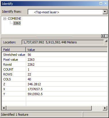
I have an integer raster created from an input floating point (LiDAR) raster by multiplying it by the (elevation) value of 100 (any other value higher would not work)
Thus, I can add a "double" attribute called elevation to this raster and calculate my real-world elevation by dividing the integer value field by 100. This gives me elevation attribute with 2 decimal places in this integer raster.
I would now like to add 2 more fields to this raster, namely X and Y. Unfortunately, calculate geometry is not an option. I can't think of any other way other than converting the raster to points then converting back to raster which can take a very long time with full resolution LiDAR rasters.
Ultimately I want to end up with an integer raster that also has X,Y,Z ("double") attributes for each cell.
Is this possible?

