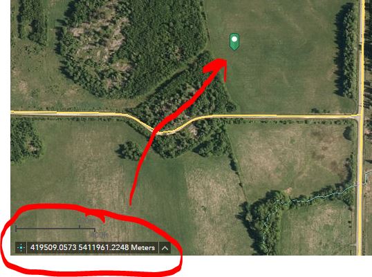
Is there a way to configure / edit the default coordinate widget to show elevation (Z) along the X, Y values just as is possible in a 3D application but in a 2D application? If possible, this would be the ideal solution.
See capture 1 showing default OOTB coordinate widget in a 2D web appp.
See capture 2 for closeup of the widget with a coordinate placed on map.
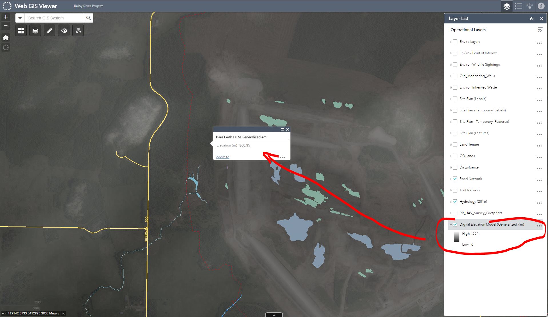
Alternatively, can I obtain XYZ values from a DEM service? We've tried this and although we can get the elevation value from in a popup we don't seem to be able to get the cell X and Y coordinate as well as the elevation cell value in one popup.
See capture 3 for a popup showing an elevation (Z) value obtained from a DEM exported to server as image service.
Having to obtain XY values using a widget then getting the Z value from a popup is a bit cumbersome so I am basically looking for a solution that will allow me to obtain all 3 values (X,Y,Z) from a single click on a map.


