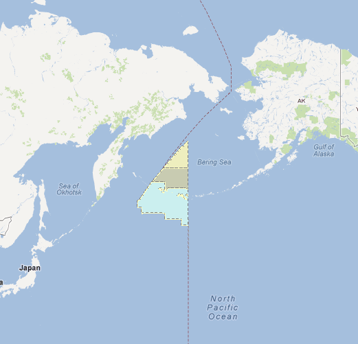
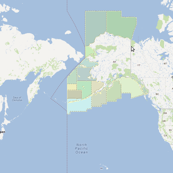
I'm having issues viewing a ArcGIS93Rest layer on both sides of the dateline -- the data doesn't cross the dateline. The problem is that I only see data for one side of the dateline until I pan west and vice versa (see attached pics at bottom).
I'm trying to rule out that it's an OpenLayers problem. The wrapDateLine option should work with the ArcGIS93Rest layer type because it's a subclass of Layer > HttpRequest > Grid same as OpenLayers WMS Layer. I have no wrapping problems with WMS layers created with UMN MapServer.
However, I can't set the wrapDateLine option as a hash extra option on the ArcGIS93 layer but only after initializing a layer like so. I'm not sure this is right. Is it?:
layer = new OpenLayers.Layer.ArcGIS93Rest('L' + cfg.id, cfg.url + '/export',
    { layers: 'show:' + cfg.layer, transparent: 'true',
        f: 'image', format: 'png', size: '256,256',
        bboxSR: '900913', imageSR: '900913'
    });
layer.setOpacity(cfgOpacity);
layer.wrapDateLine = true;
Questions:
Does anyone know if wrapDateLine works with ArcGISRest93? Have you seen it work?
Has anyone had this problem with ArcGIS Server data before? I'm wondering if it has to do with their service. As I said before, I have no problem with WMS layers from UMN MapServer


