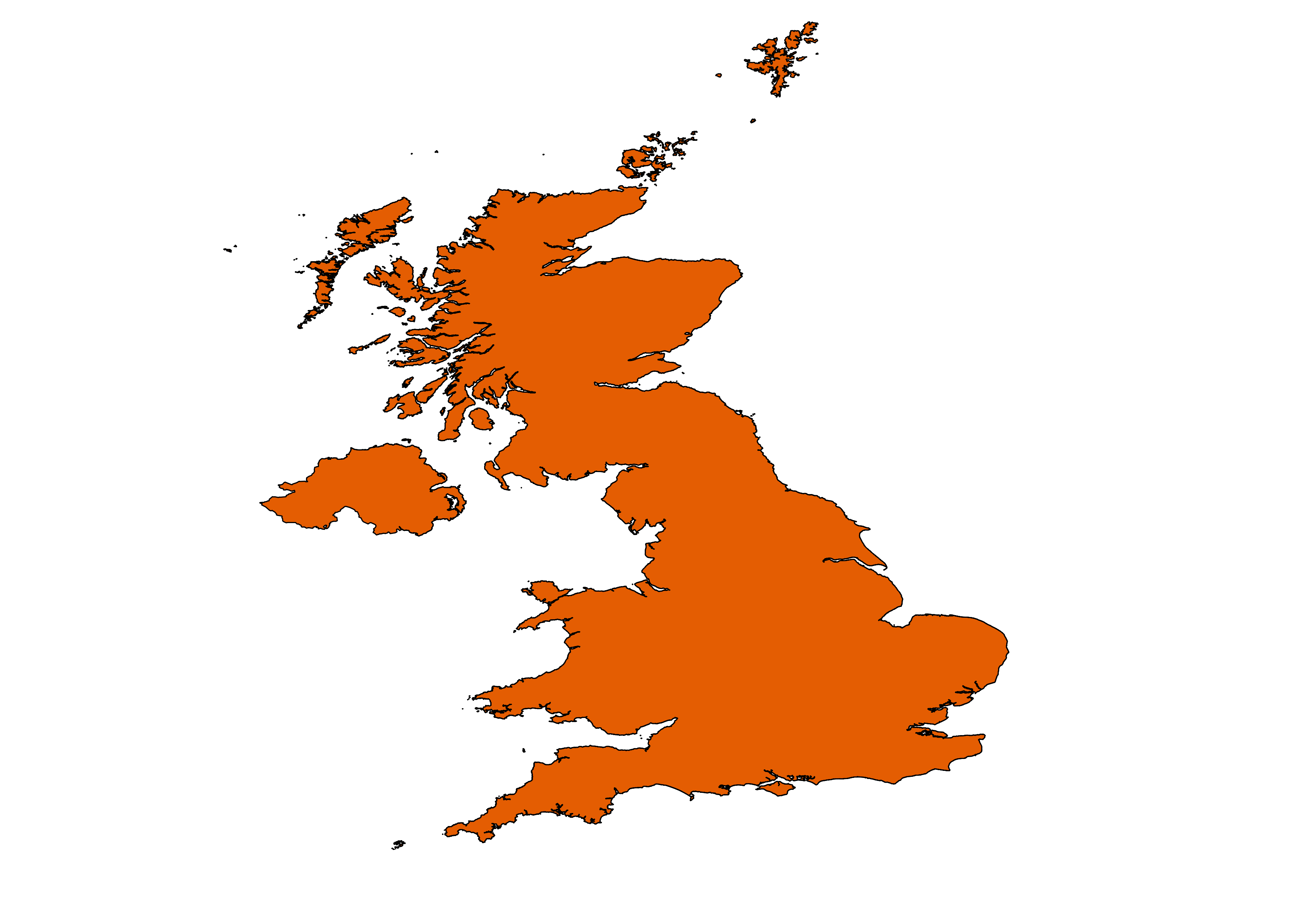
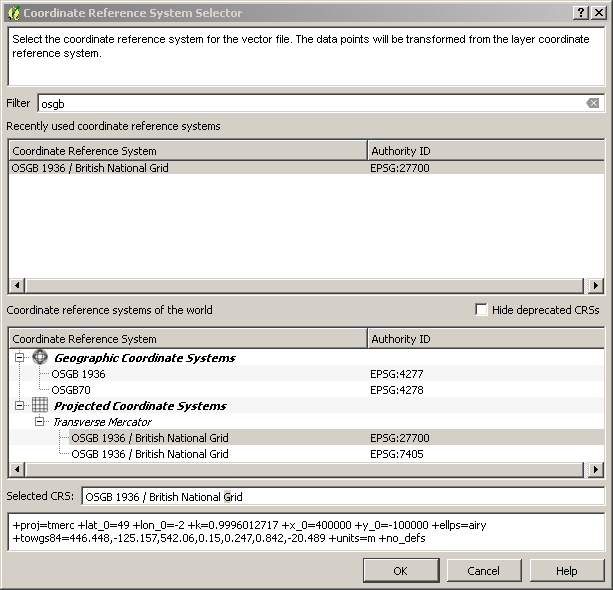
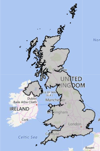
I'm revisiting GIS after several years of not using it and have opted for QGIS (currently v2.14). All the example files I have are of the US (Alaska) but I am learning QGIS for work purposes. I live in the UK so want to find a shapefile of the UK mainland. It doesn't have to be anything fancy just an outline would do, and also ideally in the British National Grid CRS (although I understand you can reproject but I haven't figured out how yet!)
Does anyone know where I can get shapefiles of the UK for use in QGIS?


