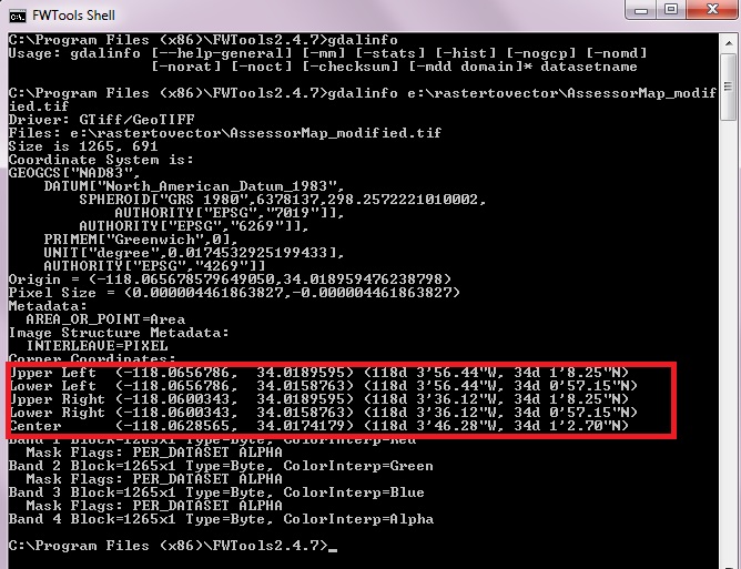
I have got a raster image (tif) from a mapping site and an associated .TAB file. I am trying to correctly map it into CAD/3d model - which I know is set up to the correct coordinates.
The .TAB file is as follows:
!table
!version 300
!charset WindowsLatin1

Definition Table
  File "Getmapping_Index_Map.tif"
  Type "RASTER"
  (336451.73,971812.515) (0,591) Label "Pt 1",
  (336451.73,974812.515) (0,0) Label "Pt 2",
  (339451.73,974812.515) (591,0) Label "Pt 3",
  (339451.73,971812.515) (591,591) Label "Pt 4"
  CoordSys Earth Projection 8, 79, "m", -2, 49, 0.9996012717, 400000, -100000
  Units "m"
  RasterStyle 4 1
  RasterStyle 7 16777215
I assumed that the coordinates of the corners of the image were (336451.73,974812.515) and (339451.73,974812.515) but while that gets it centred on the right point it is not the right scale. I can't work out what the (0,0)(591,591) coordinates are for. It seems to be coming out about 3 times the correct size.
(I can't see a similar question, although that may be due to not knowing the correct terminology. If so my apologies.)

