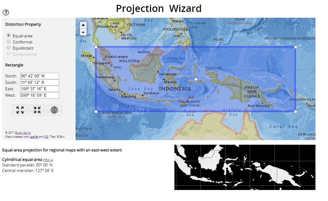
I need to define equal area projections for various countries around the world (in proj4 terms). I’ve taken a stab and designing them myself but would like to verify that my method is correct.
For example, for the part of the world encompassing Borneo, Malaysia and Papa New Guinea, I’m modifying the ESRI: 102028 projection for South Asia using the 1/6 rule.
The lat span of interest is 6.7 to -11.82 degrees so a range of 18.52 deg. 1/6 of this is 3.08.
lat_1 = 1/6 south of my northern extreme = 6.7 - 3.08 = 3.62
lat_2 = 1/6 north of my southern extreme = -11.82 + 3.08 = -8.74
I would also readjust the central longitude to 117 degs.
So rounding a bit, my new projection is:
"+proj=aea +lat_1=4 +lat_2=-8 +lat_0=0 +lon_0=117 +x_0=0 +y_0=0 +ellps=WGS84 +datum=WGS84 +units=m +no_defs"
Can someone confirm that I’m thinking about this correctly?

