What is the difference between the values calculated using the slope tool vs the slope option in the add surface information tool?
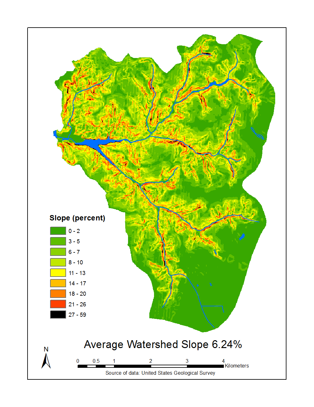
I am making a map that displays watershed slope (using the slope tool) and want to also show stream slope (using add the add surface info tool) but not sure if the calculated values are saying the same thing.
Add surface info tool (average slope bit): http://pro.arcgis.com/en/pro-app/tool-reference/3d-analyst/add-surface-information.htm
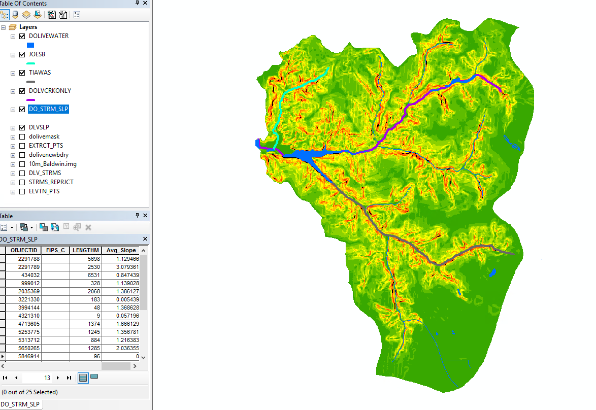
Here is an image showing the terrain slope and three oddly colored streams with their slope data (bottom left corner, first three rows):


