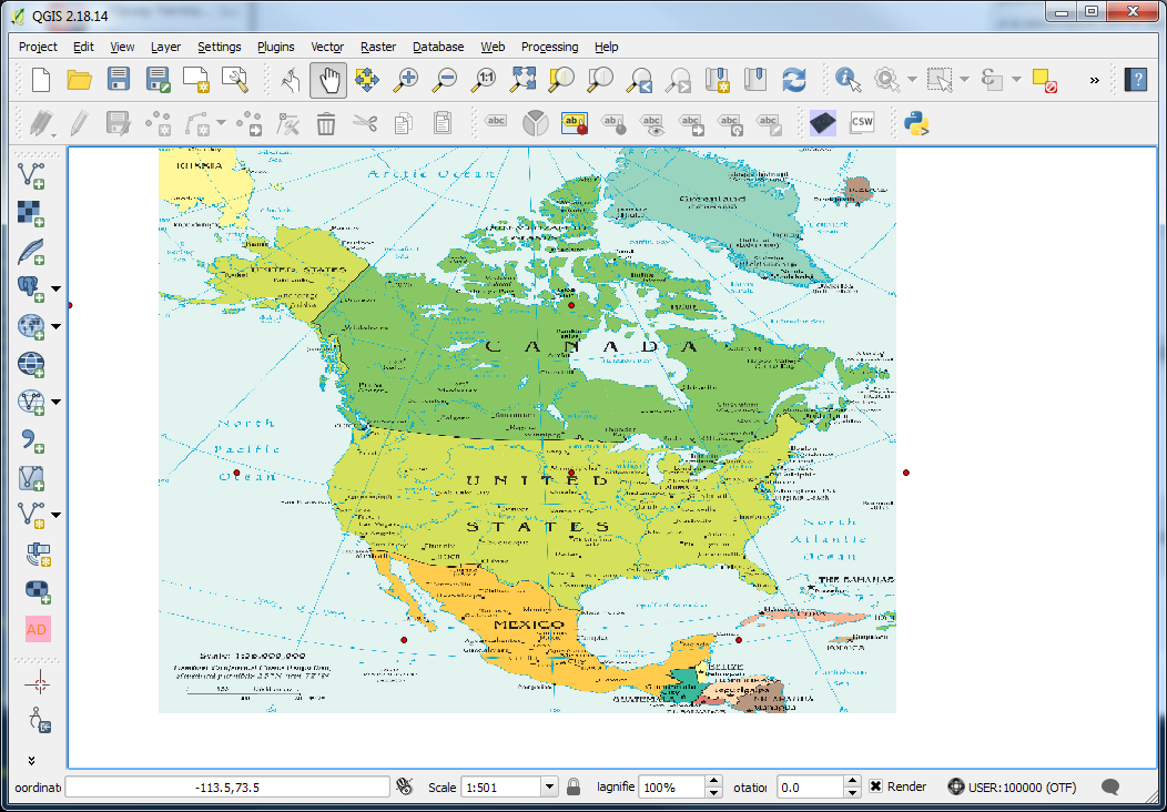
I'm trying to load into the QGIS an image generated from the NA CIA Fact Book PDF which uses Lambert Conformal Conic Projection, standard parallels 25°N and 77°N. I'd like to work with the exact projection from this PDF and overlay some vector data on top of it.
I think there is something wrong in my workflow. Here is what I've done so far
- export the PDF to a TIFF file
- Define a Custom CRS in QGIS:
+proj=lcc +lat_1=25 +lat_2=77 +lat_0=40 +lon_0=-96 +x_0=0 +y_0=0 +datum=NAD83 +units=m +no_defs
Open the tiff file in georeferencer. When prompted for CRS, pick the custom defined lcc as above
Add 6 or so GCP at the grid intersections
- Transformation settings: Linear/Nearest Neighbor/Target SRS: select the custom defined as above.
- Once the image loads into qgis it does not look correct. I've tried Polynomial 2 transform but that didn't fix either.
My understanding is that when the source and dest projection does not change I should be able to use the Liniar transformation.
using QGIS 2.18.


