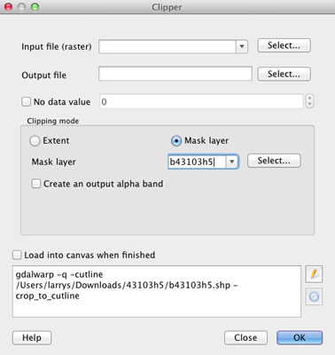
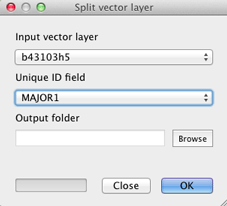
Given a shapefile composed of contiguous polygons, I'd like to clip (or mask) regions of satellite photo to the polygon outlines, and export each resulting raster in medium resolution for further processing.
I've gotten as far as overlaying the shapefile on Google Maps imagery (in QGIS, with Openlayers plugin), but I can't find any operation to intersect vector data with raster data (presuming that the Openlayers layer is indeed treated as a raster layer).
A simple solution would be great, and suggestions of other free OSX-compatible software are fine. A programmatic solution would be ideal (though not requisite) as I'd like to export many such images, each named by an attribute field in the shapefile.
I hope I haven't over-explained a simple problem, but alas, I'm rather new to GIS software. Trying to move forward with this project as quickly as possible, but stymied by data acquisition... Thanks a ton!


