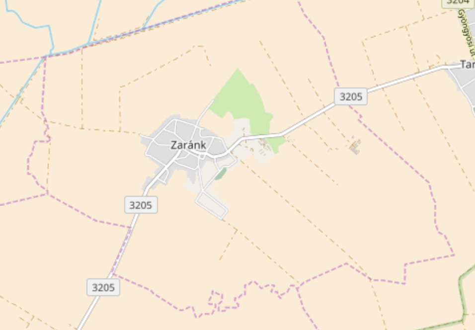
I have a collection of all administrative boundaries (level 8) in a country. I am interested in playing with the shapes of these towns and cities using Python (shapely, osmnx). But I would like to consider only "inhabited" or "built" parts of the towns. Specifically, I would like to extract the polygon of the grey (but dark and light areas from the administrative polygon (purple dotted line) in overpass. 
So far I have tried the buildings API without luck. Is there a specific name for this layer? Once I figure out how to extract this layer I could follow a post like How to Intersect between a vector (administrative areas) and a raster layer (slope)? to obtain the intersection, though I am also happy to hear if someone knows of a slick way to to do this all via Python.
