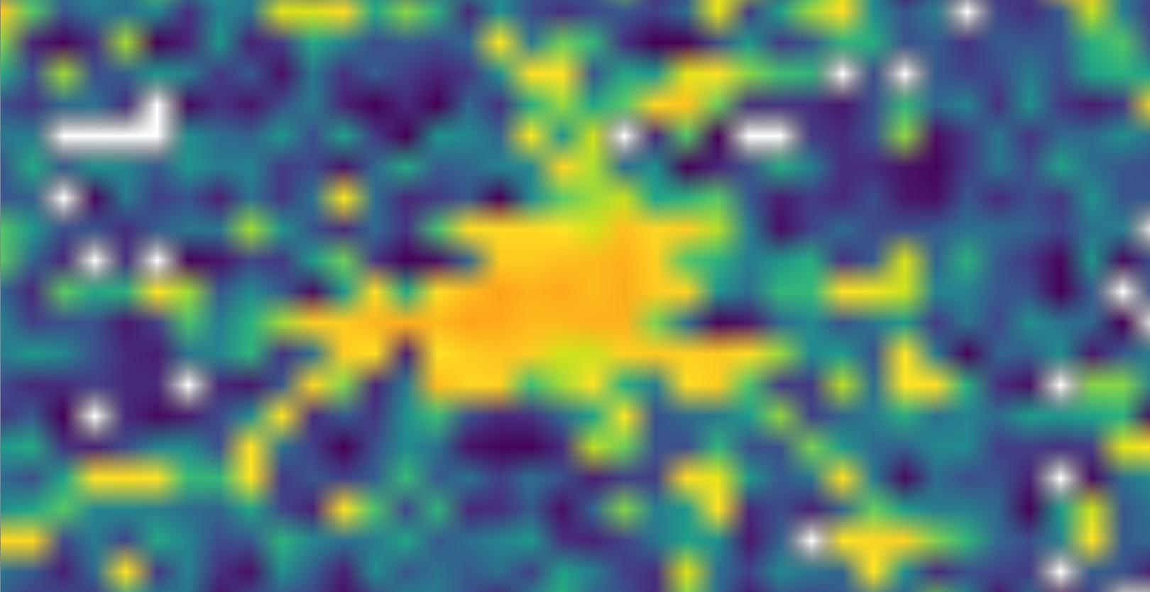
I have been testing the functionality of GeoServer as a WMS raster server and I have noticed that the quality of the tiles at high zoom levels is low. Here is an example of the GeoServer tile vs the original.
GeoServer Tile:
Original:
The single pixels need to be view-able for my intended purpose. I thought it might have been due to the png compression so I set that to 0, which did not fix the problem. I created overviews, which improved the visuals at lower zoom levels but the degradation was still present at high zoom levels. I set the interpolation method to bilinear from nearest neighbor which made no difference. I also tried using the GeoWebCache to pre-cache the tiles and this didn't help either. I used the default EPSG:4326 gridset. Does anyone know the reason for my problem and how I can fix it?


