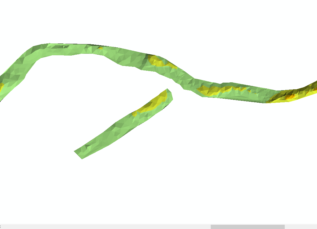
So i am trying to create a seamless DEM using a DTM created in pix4d with a 5cm resolution (Raster).  I have then collected RTK bathymetric data which i have turned into a TIN below
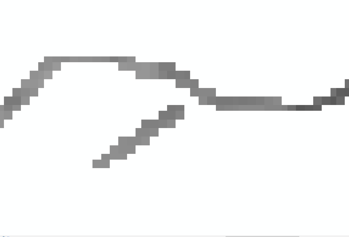
 To create a seamless DEM i have to merge two raster DEMs together.....as i understand it. When i convert the river TIN into raster, the output is sub-standard. The cell size is 2.8m which is why i think it apears so blocky but when i try to resample it, there is no change.

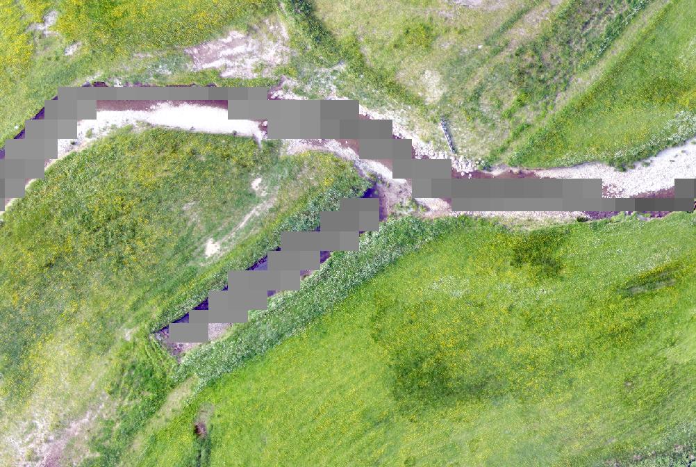
 As you can see from above, this does not represent the river very well, there is overlap onto dry land and exposed water showing. How can i get this to look more like the DTM quality in the first image which is a lot smoother?
-
Specify the cell you need when converting to raster– FelixIPCommented Jul 4, 2018 at 18:57
-
Resampling would not make any difference, you can't increase raster resolution (from a raster). Is the cell size for TIN to DEM conversion chosen by default? Why wouldn't you convert TIN to Raster at 5 cm resolution?– RuslanCommented Jul 4, 2018 at 21:11
-
Apologies for not explaining myself: I am not at the computer at the moment so I forget exactly what it said under ‘cell size’. There was a default option what’s was ‘something 250’ or ‘cell 2.8’. I was not given any other options. I will confirm what it actually said tomorrow. Thanks for the comments– CairnsWFCommented Jul 4, 2018 at 21:53
1 Answer
From what you have described, you have used the default settings in the conversion of a TIN to raster.
The default describes the use of a sampling distance based on "OBSERVATIONS". With your input data having a relatively small extent, the default of 250 Observations will result in a coarse or "blocky" raster.
To allow the conversion produce a smaller cell size you need to define the cell size you want your output raster to be.
In the Sampling Distance input, select the "Observations 250" text and delete it. The type in "CELLSIZE X" Where X is the desired cell size.
You should get a better result, and you may need to experiment with the cell size to get the result you looking for.
-
Hi Keagan, this was exactly the issue. Thank you for helping me out. As it was a drop down option i just assumed it was unchangeable. Such a simple thing which i spent a whole day on. Very much appreciated– CairnsWFCommented Jul 5, 2018 at 10:56
-
Glad it helped. It's not always clear in the Arc help. But if you expand the geoprocessing tool help you can get a deeper explanation of the tool. If this answered your question please mark it solved. Click the little tick on the left. It will help others if they have a similar problem. Commented Jul 5, 2018 at 11:00
