I am trying to polygonize one of my rasters with PyGIS. I do this with the below script.
sourceRaster =
gdal.Open('RASTER.tiff')
sr_proj=sourceRaster.GetProjection()
raster_proj = osr.SpatialReference()
raster_proj.ImportFromWkt(sr_proj)

band = sourceRaster.GetRasterBand(1)
print  band
bandArray = band.ReadAsArray()
outShapefile = "POLYGON"
driver = ogr.GetDriverByName("ESRI Shapefile")
outDatasource = driver.CreateDataSource(outShapefile+ ".shp")
outLayer = outDatasource.CreateLayer('polygonized', srs=raster_proj)
newField = ogr.FieldDefn(str(1), ogr.OFTInteger)
outLayer.CreateField(newField)

gdal.Polygonize( band, None, outLayer, -1, [], callback=None )
outDatasource.Destroy()
sourceRaster = None

print "finish"
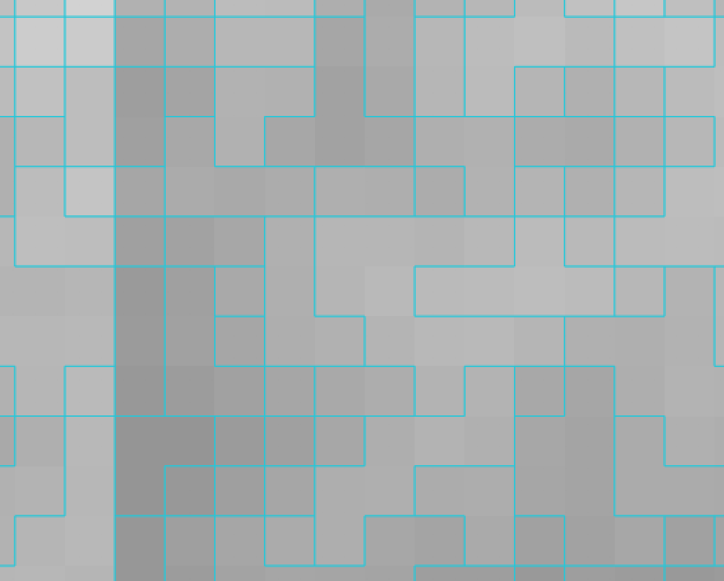
When I run the above, a polygonized version of my raster file has been created. The polygon looks like expected, it at least seems to fit the raster.
The weird thing however is that the attribute table is empty and it looks like only the shadow is projected
also when I Print the band
    band = sourceRaster.GetRasterBand(1)
print  band
Below is printed
osgeo.gdal.Band; proxy of Swig Object of type 'GDALRasterBandShadow *' at 0x12a90a450
finish
When I use the QGIS GDAL Polygonize inbuilt function, the polygon looks like expected with a populated Attribute table.
Who can help?

