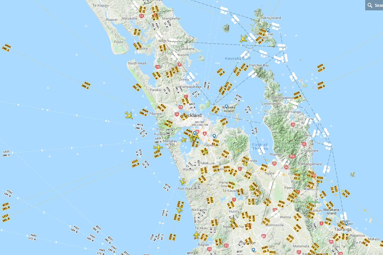
I would like to be able to display aeronautical charts high/low similar to flight radar 24 (Will attach picture).
Is this possible please?
Not sure where I can get them from.

1 Answer
https://www.iflightplanner.com/AviationCharts/
https://sites.google.com/site/planeslinks/maps
http://www.soaringdata.info/aviation/tifInGe.html
https://www.planeandpilotmag.com/article/google-earth-the-ultimate-preflight-tool/#.W4ugQBh9g8o
These links might help.
Open Google Earth.
Download the sectional charts from here:http://www.gelib.com/aeronautical-charts-united-states.htm
Double-click the download file to open it. This will automatically load it into Google Earth.
When Google Earth begins, look under Temporary Places and click on "Aeronautical Charts" to see a list of the various chart options. Click on Sectionals to open up the mosaic of the Sectionals covering the lower 48 United States.
Note: After clicking on the Aeronautical Charts link in Google Earth, it might take some time for everything to load. If it doesn't work, or for more information visit the Google Earth Library. You can also select other options, such as Flyway maps, the Sectional legends, 3D Airspace, etc.
References: Wiki
-
Is there an update for these links? None are still good. Commented Mar 14, 2021 at 0:00
-
