I need to extend my digital elevation map (10m or 30m will do) into Baja from southern CA.
2 Answers
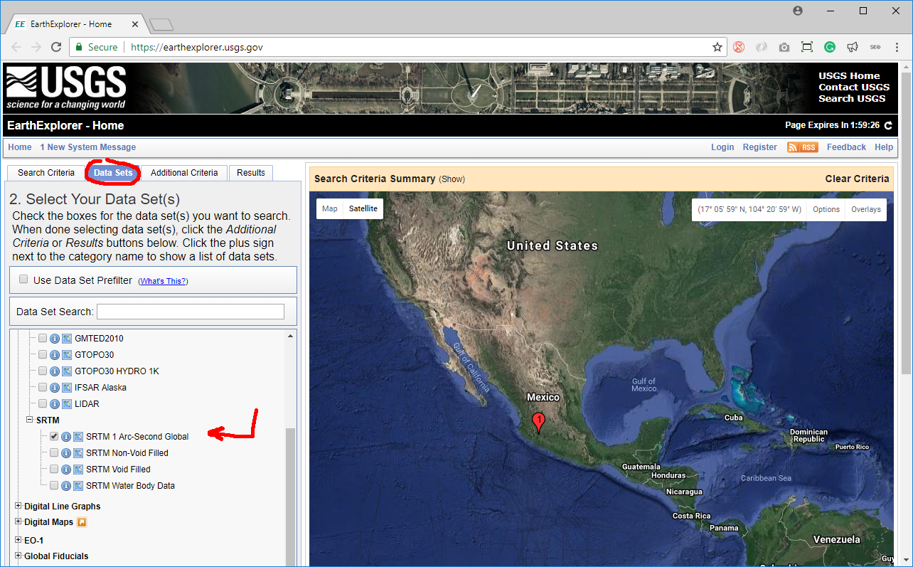
There is SRTM 1 arcsec (that is approx. 30m) global data (land between parallels 60N and 60S respectively) available to download from https://earthexplorer.usgs.gov/. Just click the location, follow to the another tab "Data Sets" and locate Digital Elevation -> SRTM -> SRTM 1 Arc-Second Global. Proceed to "Results" tab and follow the "Download" icon.
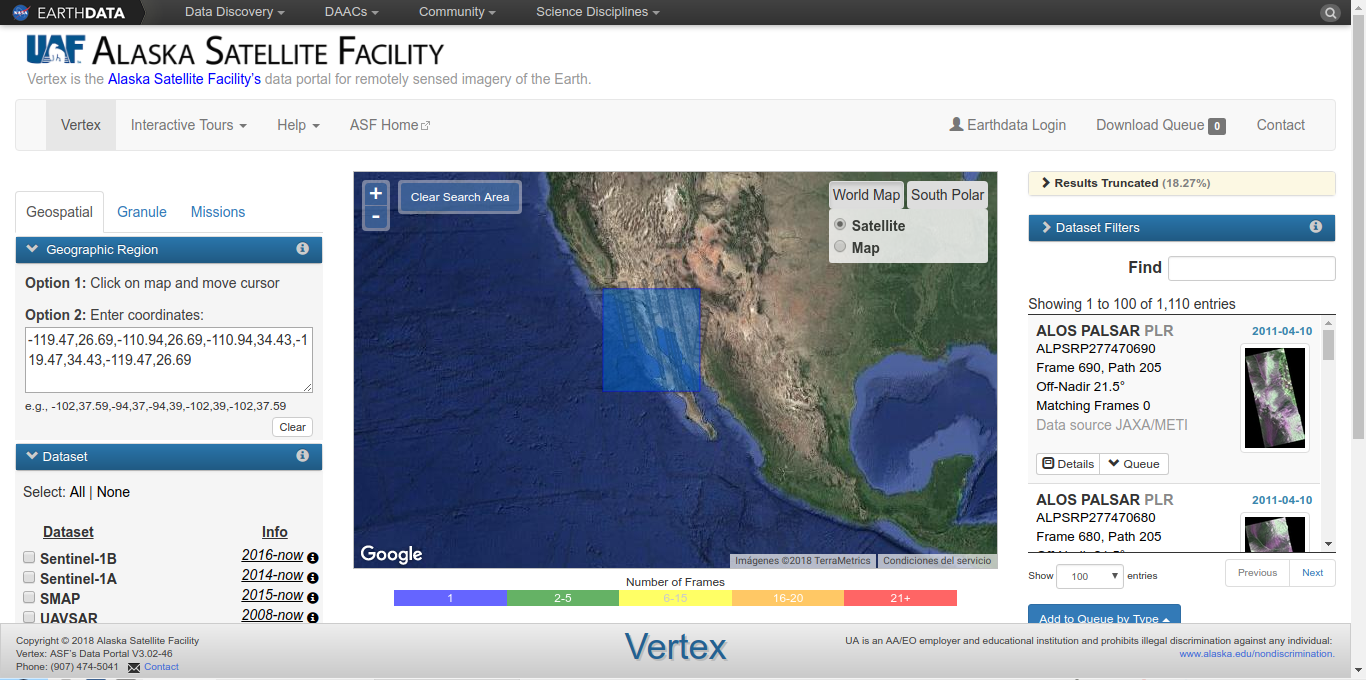
You can download the DEMs included with ALOS PALSAR RTC products. These DEMs are what was used for RTC processing (usually from SRTM and NED, with a geoid correction applied). They have been resampled to a pixel spacing of 12.5m, but the actual resolution will vary depending on the DEM.


