I want to download a digital elevation model for a major part of Europe.
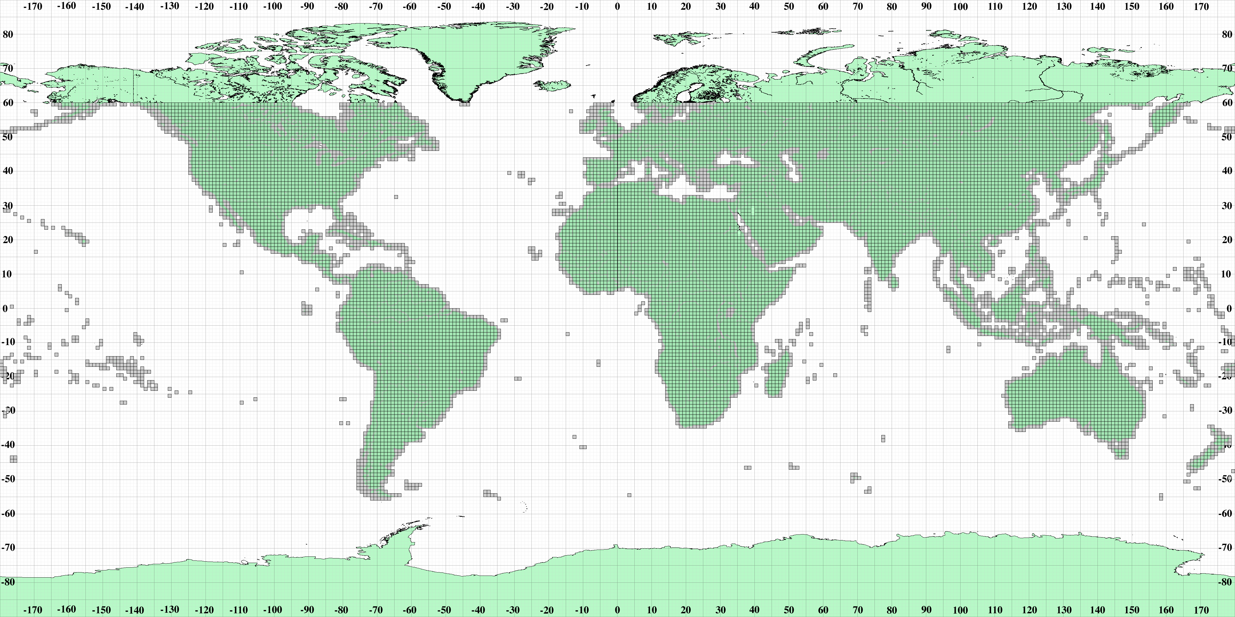
Last time I tried it with the "NASA NASADEM Digital Elevation 30m", wich can be found here: https://developers.google.com/earth-engine/datasets/catalog/NASA_NASADEM_HGT_001#description
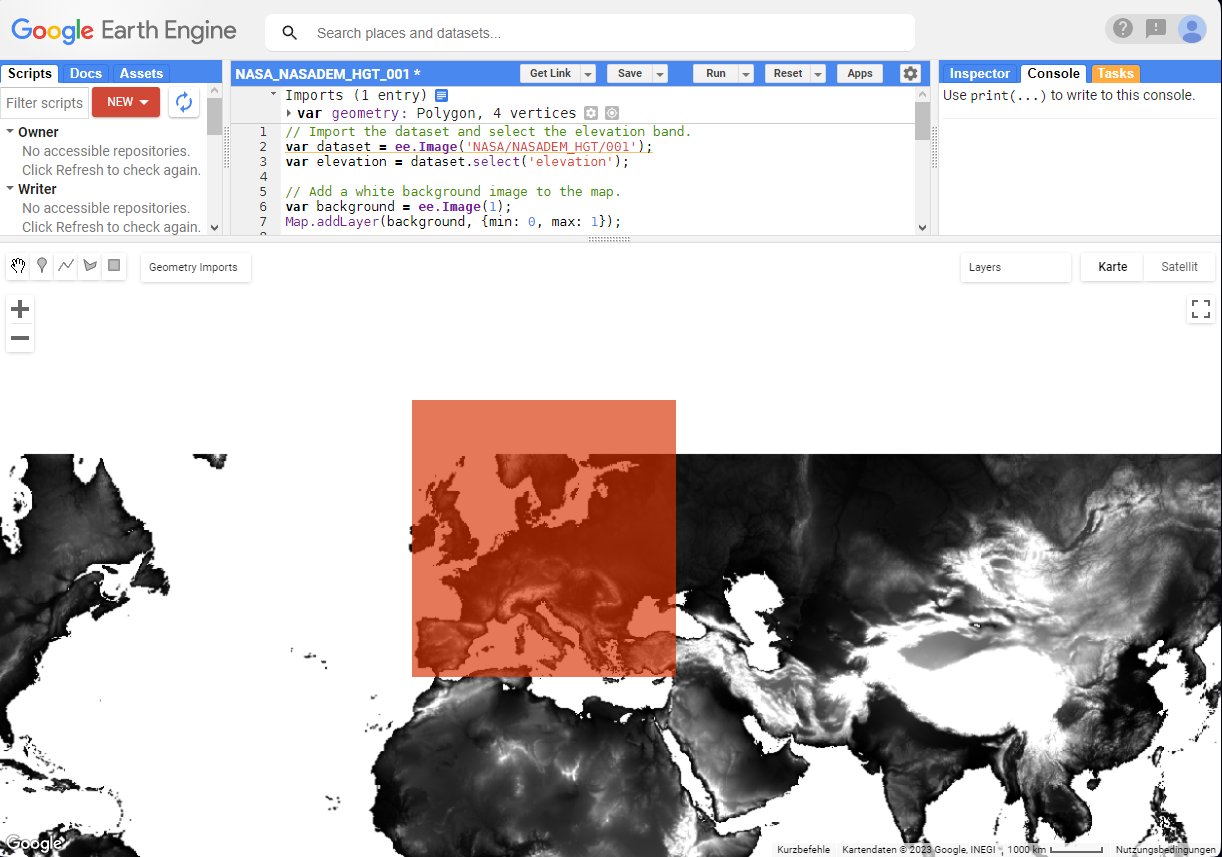
However, I encounter the problem, that the northern part of the map extend is completely cut off, as you can see in the picture below. When I download the DEM TIF data like this, the pixels of the entire cut-off-region only contain the value "0", respectively an elevation of zero.
Here is the code I use:
// Import the dataset and select the elevation band.
var dataset = ee.Image('NASA/NASADEM_HGT/001');
var elevation = dataset.select('elevation');

// Add a white background image to the map.
var background = ee.Image(1);
Map.addLayer(background, {min: 0, max: 1});

// Set elevation visualization properties.
var elevationVis = {
  min: 0,
  max: 2000,
};

// Set elevation <= 0 as transparent and add to the map.
Map.addLayer(elevation.updateMask(elevation.gt(0)), elevationVis, 'Elevation');

Export.image.toDrive({
  image: elevation,
  description: 'elevation',
  folder: 'Digital Elevation Model Europe',
  scale: 100,
  region: geometry,
  maxPixels: 5e9 // --> change the maxPixels for different resolution
})


