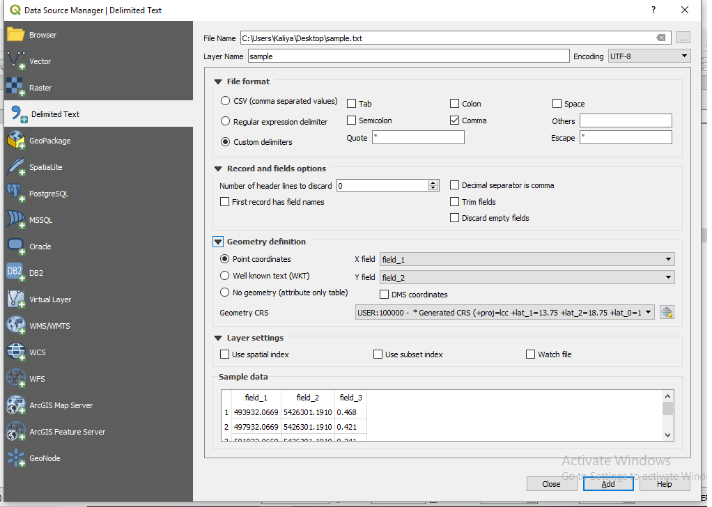
I have many .txt files containing UTM XYZ coordinates of my study area. The content of each .txt file looks like this:
493932.0669,5426301.1910,0.468

497932.0669,5426301.1910,0.421

501932.0669,5426301.1910,0.341

505932.0669,5426301.1910,0.178
Aand it follows the general form of: UTM X, UTM Y, Z. Each data point represents the center of a 4km by 4km grid.
What I want to do is to convert these .txt files into .tif files. I know how to do it in ArcGIS; however, it's a long process. I was wondering if there is a Python library (other than ArcPy) that can do this for me.


gdal.Translatefor the python method.